Ngaio Island Area, Ngaio Island Postcode & Map in Ngaio Island
Ngaio Island Area, Ngaio Island Postcode & Map in Ngaio Island, Tasman District, New Zealand
Ngaio Island, Tasman District, New Zealand
Ngaio Island Area (estimated)
0.0 square kilometersNgaio Island Population (estimated)
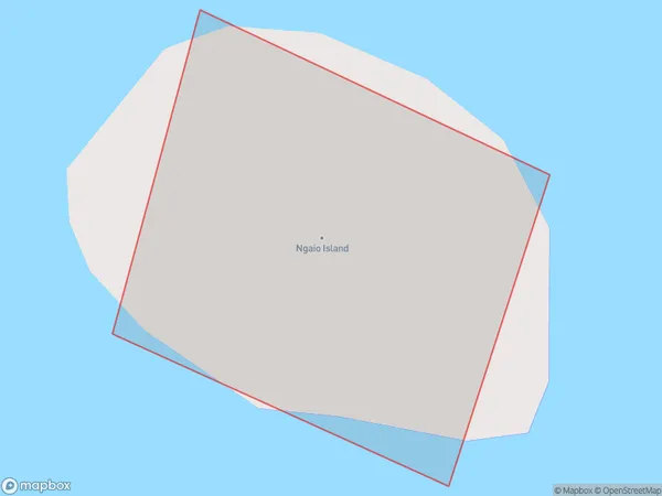
0 people live in Ngaio Island, Tasman, NZNgaio Island Suburb Area Map (Polygon)
Ngaio Island Introduction
Ngaio Island is located in the Tasman region of New Zealand and is a popular destination for outdoor activities such as hiking, biking, and fishing. The island is home to a variety of wildlife, including native birds, seals, and dolphins. The island also has a rich cultural heritage, with several historic sites and museums. Visitors can explore the island's natural beauty and learn about its cultural history by visiting the Ngaio Forest Park, the Ngaio Native Bird Reserve, or the Ngaio Historical Village.Region
Suburb Name
Ngaio IslandOther Name(s)
Ngaio BayNgaio Island Area Map (Street)

Local Authority
Tasman DistrictFull Address
Ngaio Island, Tasman District, New ZealandAddress Type
IslandNgaio Island Suburb Map (Satellite)

Country
Main Region in AU
TasmanNgaio Island Region Map

Coordinates
-41.0256294,173.023367101052 (latitude/longitude)Distances
The distance from Ngaio Island, , Tasman District to NZ Top 10 Cities