Nelly Island Area, Nelly Island Postcode & Map in Nelly Island
Nelly Island Area, Nelly Island Postcode & Map in Nelly Island, Southland District, New Zealand
Nelly Island, Southland District, New Zealand
Nelly Island Area (estimated)
0.0 square kilometersNelly Island Population (estimated)
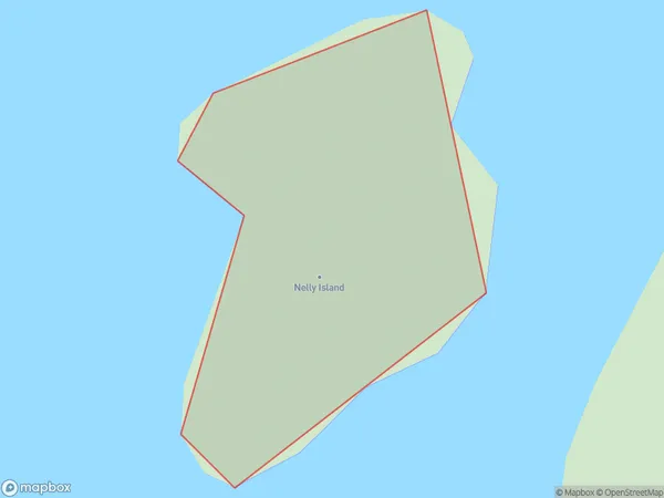
0 people live in Nelly Island, Southland, NZNelly Island Suburb Area Map (Polygon)
Nelly Island Introduction
Nelly Island is a small island located in Fiordland National Park, Southland, New Zealand. It is known for its stunning natural beauty, including lush forests, waterfalls, and crystal-clear lakes. The island is a popular destination for hiking, camping, and wildlife viewing, with a variety of species of birds and animals native to the region. Nelly Island is also home to a small community of people who live off the land and rely on the natural resources of the island.Region
Suburb Name
Nelly IslandOther Name(s)
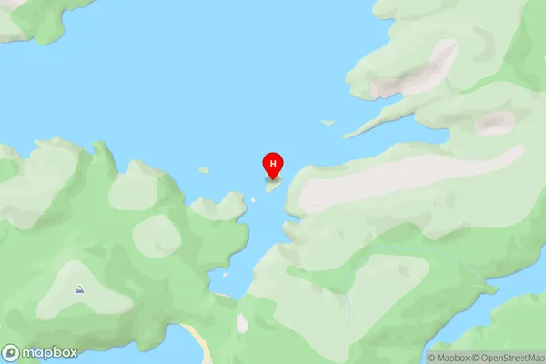
South ArmNelly Island Area Map (Street)
Local Authority
Southland DistrictFull Address
Nelly Island, Southland District, New ZealandAddress Type
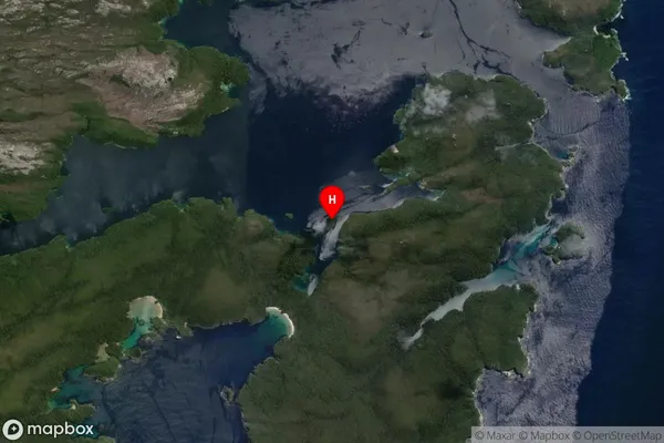
IslandNelly Island Suburb Map (Satellite)
Country
Main Region in AU
SouthlandNelly Island Region Map

Coordinates
-47.2371685,167.6239187 (latitude/longitude)Distances
The distance from Nelly Island, , Southland District to NZ Top 10 Cities