Needle Rock Area, Needle Rock Postcode & Map in Needle Rock
Needle Rock Area, Needle Rock Postcode & Map in Needle Rock, Area outside Territorial Authority, New Zealand
Needle Rock, Area outside Territorial Authority, New Zealand
Needle Rock Area (estimated)
0.0 square kilometersNeedle Rock Population (estimated)
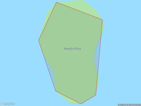
0 people live in Needle Rock, Waikato, NZNeedle Rock Suburb Area Map (Polygon)
Needle Rock Introduction
Needle Rock is a prominent landmark located in the Waikato region of New Zealand. It is a volcanic cone that rises to a height of 817 meters and is part of the Taranaki Volcanic Arc. The cone was formed during the Pleistocene Epoch and is known for its distinctive shape and steep slopes. The surrounding area is popular for hiking, mountain biking, and wildlife viewing, and the summit offers panoramic views of the surrounding landscape.Region
Suburb Name
Needle RockNeedle Rock Area Map (Street)

Local Authority
Area outside Territorial AuthorityFull Address
Needle Rock, Area outside Territorial Authority, New ZealandAddress Type
IslandNeedle Rock Suburb Map (Satellite)

Country
Main Region in AU
WaikatoNeedle Rock Region Map

Coordinates
-36.73410405,175.844116772682 (latitude/longitude)Distances
The distance from Needle Rock, , Area outside Territorial Authority to NZ Top 10 Cities