Native Island Area, Native Island Postcode & Map in Native Island
Native Island Area, Native Island Postcode & Map in Native Island, Southland District, New Zealand
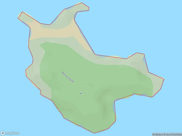
Native Island, Southland District, New Zealand
Native Island Area (estimated)
0.7 square kilometersNative Island Population (estimated)
0 people live in Native Island, Southland, NZNative Island Suburb Area Map (Polygon)
Native Island Introduction
Native Island is a small island in Fiordland National Park, Southland, New Zealand. It is known for its stunning natural beauty, including waterfalls, rainforests, and crystal-clear lakes. The island is home to a variety of wildlife, including kea, kiwi, and fur seals. Visitors can hike, kayak, or boat to the island and explore its many trails and viewpoints. Native Island is a popular destination for nature lovers and adventure seekers alike.Region
Suburb Name
Native IslandNative Island Area Map (Street)

Local Authority
Southland DistrictFull Address
Native Island, Southland District, New ZealandAddress Type
IslandNative Island Suburb Map (Satellite)

Country
Main Region in AU
SouthlandNative Island Region Map

Coordinates
-46.91500075,168.154334890422 (latitude/longitude)Distances
The distance from Native Island, , Southland District to NZ Top 10 Cities