Nathans Island Area, Nathans Island Postcode & Map in Nathans Island
Nathans Island Area, Nathans Island Postcode & Map in Nathans Island, Area outside Territorial Authority, New Zealand
Nathans Island, Area outside Territorial Authority, New Zealand
Nathans Island Area (estimated)
0.0 square kilometersNathans Island Population (estimated)
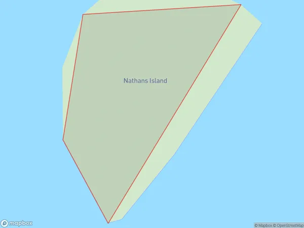
0 people live in Nathans Island, Southland, NZNathans Island Suburb Area Map (Polygon)
Nathans Island Introduction
Nathans Island is a small island in Fiordland National Park, Southland, New Zealand. It is known for its stunning natural beauty, including waterfalls, rainforests, and a variety of bird species. The island is accessible by a short boat ride from Milford Sound or by a scenic walk from the nearby village of Te Anau.Region
Suburb Name
Nathans IslandNathans Island Area Map (Street)

Local Authority
Area outside Territorial AuthorityFull Address
Nathans Island, Area outside Territorial Authority, New ZealandAddress Type
IslandNathans Island Suburb Map (Satellite)

Country
Main Region in AU
SouthlandNathans Island Region Map

Coordinates
-46.85977985,168.141494983804 (latitude/longitude)Distances
The distance from Nathans Island, , Area outside Territorial Authority to NZ Top 10 Cities