Muriwhenua Island Area, Muriwhenua Island Postcode & Map in Muriwhenua Island
Muriwhenua Island Area, Muriwhenua Island Postcode & Map in Muriwhenua Island, Whangarei District, New Zealand
Muriwhenua Island, Whangarei District, New Zealand
Muriwhenua Island Area (estimated)
0.0 square kilometersMuriwhenua Island Population (estimated)
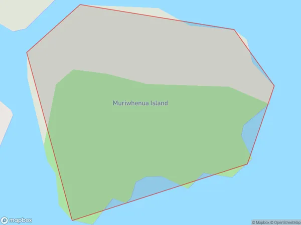
0 people live in Muriwhenua Island, Northland, NZMuriwhenua Island Suburb Area Map (Polygon)
Muriwhenua Island Introduction
Muriwhenua Island is a small, uninhabited island in the Bay of Islands, Northland, New Zealand. It is known for its unique geological features, including a volcanic cone and a series of arches. The island is a popular destination for tourists and is part of the Muriwhenua Islands Marine Reserve, which is a protected area that covers over 100,000 hectares of ocean and coastal land.Region
Suburb Name
Muriwhenua IslandOther Name(s)
Hen And Chicken IslandsMuriwhenua Island Area Map (Street)

Local Authority
Whangarei DistrictFull Address
Muriwhenua Island, Whangarei District, New ZealandAddress Type
IslandMuriwhenua Island Suburb Map (Satellite)

Country
Main Region in AU
NorthlandMuriwhenua Island Region Map

Coordinates
-35.88414175,174.697604616894 (latitude/longitude)Distances
The distance from Muriwhenua Island, , Whangarei District to NZ Top 10 Cities