Murimotu Island Area, Murimotu Island Postcode & Map in Murimotu Island
Murimotu Island Area, Murimotu Island Postcode & Map in Murimotu Island, Far North District, New Zealand
Murimotu Island, Far North District, New Zealand
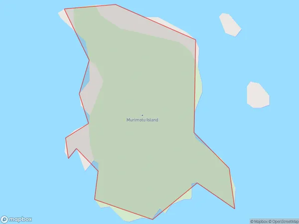
Murimotu Island Area (estimated)
0.1 square kilometersMurimotu Island Population (estimated)
0 people live in Murimotu Island, Northland, NZMurimotu Island Suburb Area Map (Polygon)
Murimotu Island Introduction
Murimotu Island is a small, uninhabited island in the Bay of Islands, Northland, New Zealand. It is known for its rugged coastline, scenic views, and diverse marine life. The island is a popular destination for hiking, kayaking, and snorkeling, and is part of the Murimotu Islands Marine Reserve.Region
Suburb Name
Murimotu IslandOther Name(s)
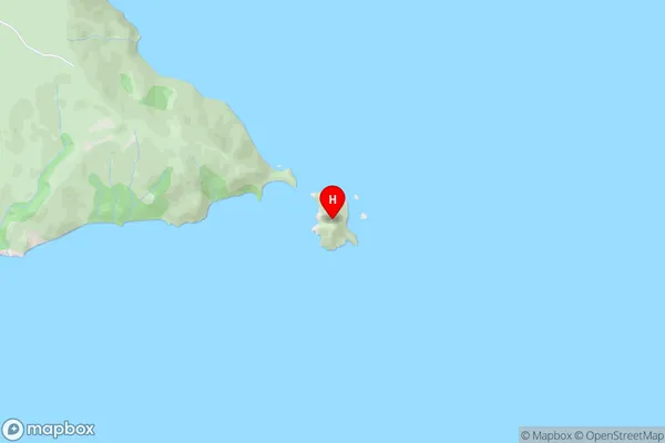
Great Exhibition BayMurimotu Island Area Map (Street)
Local Authority
Far North DistrictFull Address
Murimotu Island, Far North District, New ZealandAddress Type
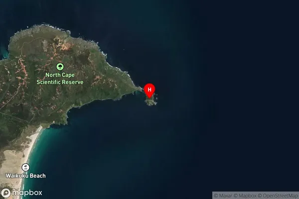
IslandMurimotu Island Suburb Map (Satellite)
Country
Main Region in AU
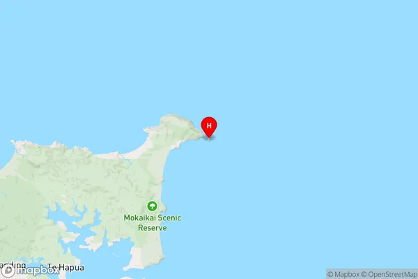
NorthlandMurimotu Island Region Map
Coordinates
-34.4146939,173.049972575671 (latitude/longitude)Distances
The distance from Murimotu Island, , Far North District to NZ Top 10 Cities