Mudflat Island Area, Mudflat Island Postcode & Map in Mudflat Island
Mudflat Island Area, Mudflat Island Postcode & Map in Mudflat Island, Southland District, New Zealand
Mudflat Island, Southland District, New Zealand
Mudflat Island Area (estimated)
0.0 square kilometersMudflat Island Population (estimated)
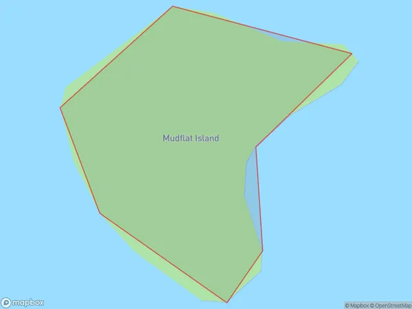
0 people live in Mudflat Island, Southland, NZMudflat Island Suburb Area Map (Polygon)
Mudflat Island Introduction
Mudflat Island is a small island in Fiordland National Park, Southland, New Zealand. It is known for its unique mudflats and stunning coastal scenery. The island is accessible by a short boat ride from the town of Te Anau. Visitors can explore the island's rugged terrain, hike through the forest, and observe the diverse wildlife, including seals and penguins.Region
Suburb Name
Mudflat IslandOther Name(s)
Paterson Inlet/Whaka a Te WeraMudflat Island Area Map (Street)

Local Authority
Southland DistrictFull Address
Mudflat Island, Southland District, New ZealandAddress Type
IslandMudflat Island Suburb Map (Satellite)

Country
Main Region in AU
SouthlandMudflat Island Region Map

Coordinates
-46.90194845,168.001502336346 (latitude/longitude)Distances
The distance from Mudflat Island, , Southland District to NZ Top 10 Cities