Moutoki Island Area, Moutoki Island Postcode & Map in Moutoki Island
Moutoki Island Area, Moutoki Island Postcode & Map in Moutoki Island, Area outside Territorial Authority, New Zealand
Moutoki Island, Area outside Territorial Authority, New Zealand
Moutoki Island Area (estimated)
0.0 square kilometersMoutoki Island Population (estimated)
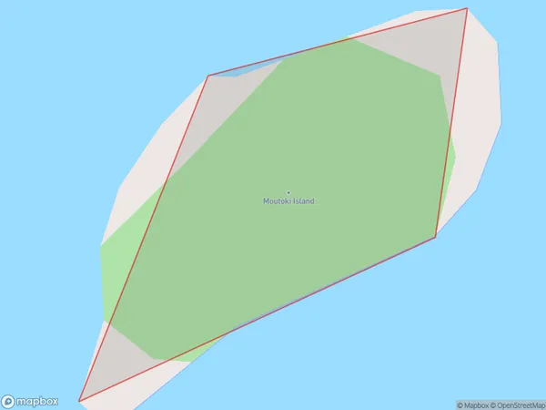
0 people live in Moutoki Island, Bay of Plenty, NZMoutoki Island Suburb Area Map (Polygon)
Moutoki Island Introduction
Moutoki Island is a small, uninhabited island in the Bay of Plenty, New Zealand. It is known for its stunning natural beauty, including rugged cliffs, sandy beaches, and a variety of wildlife. The island is a popular destination for day trips and outdoor activities such as hiking, kayaking, and snorkeling. It is also home to a small community of native birds, including the rare New Zealand kiwi.Region
Suburb Name
Moutoki IslandOther Name(s)
Bay Of PlentyMoutoki Island Area Map (Street)

Local Authority
Area outside Territorial AuthorityFull Address
Moutoki Island, Area outside Territorial Authority, New ZealandAddress Type
IslandMoutoki Island Suburb Map (Satellite)

Country
Main Region in AU
Bay of PlentyMoutoki Island Region Map

Coordinates
-37.83166745,176.883817718067 (latitude/longitude)Distances
The distance from Moutoki Island, , Area outside Territorial Authority to NZ Top 10 Cities