Moutohora Island Area, Moutohora Island Postcode & Map in Moutohora Island
Moutohora Island Area, Moutohora Island Postcode & Map in Moutohora Island, Area outside Territorial Authority, New Zealand
Moutohora Island, Area outside Territorial Authority, New Zealand
Moutohora Island Area (estimated)
2.1 square kilometersMoutohora Island Population (estimated)
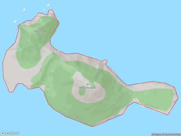
0 people live in Moutohora Island, Bay of Plenty, NZMoutohora Island Suburb Area Map (Polygon)
Moutohora Island Introduction
Moutohora Island is a small, uninhabited island in the Bay of Plenty, New Zealand. It is known for its stunning natural beauty, including lush forests, crystal-clear waters, and diverse marine life. The island is a popular destination for nature lovers and outdoor enthusiasts, with opportunities for hiking, kayaking, and birdwatching. It is also home to a unique species of owl, the Moutohora owl, which is found nowhere else in the world.Region
Suburb Name
Moutohora IslandOther Name(s)
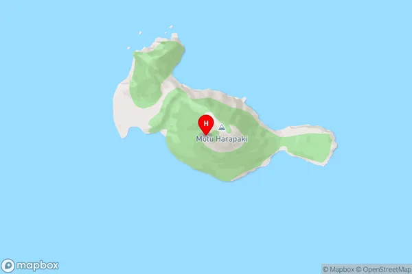
Whale Island, Bay Of PlentyMoutohora Island Area Map (Street)
Local Authority
Area outside Territorial AuthorityFull Address
Moutohora Island, Area outside Territorial Authority, New ZealandAddress Type
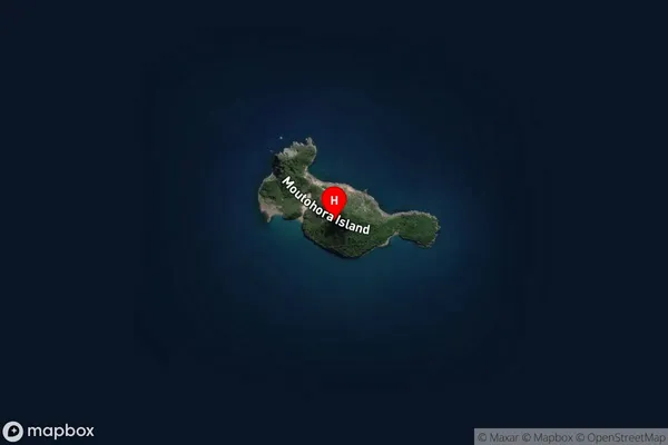
IslandMoutohora Island Suburb Map (Satellite)
Country
Main Region in AU
Bay of PlentyMoutohora Island Region Map

Coordinates
-37.8564406,176.9726607 (latitude/longitude)Distances
The distance from Moutohora Island, , Area outside Territorial Authority to NZ Top 10 Cities