Mou Waho Area, Mou Waho Postcode(9305) & Map in Mou Waho
Mou Waho Area, Mou Waho Postcode(9305) & Map in Mou Waho, Queenstown-Lakes District, New Zealand
Mou Waho, Queenstown-Lakes District, New Zealand
Mou Waho Postcodes
Mou Waho Area (estimated)
1.7 square kilometersMou Waho Population (estimated)
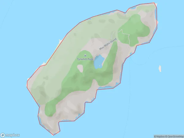
0 people live in Mou Waho, Otago, NZMou Waho Suburb Area Map (Polygon)
Mou Waho Introduction
Mou Waho is a small rural community located in the Otago region of New Zealand. It is situated on the banks of the Mou Waho River, approximately 20 kilometers south of Dunedin. The area is known for its scenic beauty, with rolling hills, lush green fields, and picturesque views of the river. The community has a population of around 100 people and is home to a primary school, a church, and a few small businesses. Mou Waho is a popular destination for outdoor enthusiasts, with numerous hiking and biking trails nearby. The area also has a rich history, with several historic buildings and sites, including the Mou Waho Tavern, which is believed to be the oldest pub in New Zealand.Region
Suburb Name
Mou WahoOther Name(s)
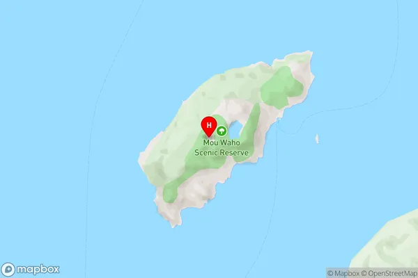
Lake Wanaka (Maori Name: Lake Wānaka)Mou Waho Area Map (Street)
Local Authority
Queenstown-Lakes DistrictFull Address
Mou Waho, Queenstown-Lakes District, New ZealandAddress Type
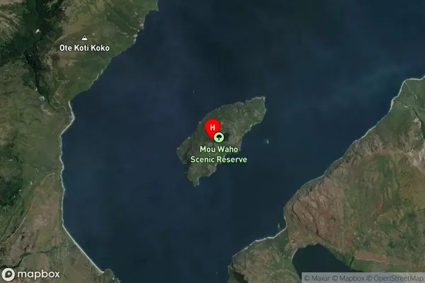
IslandMou Waho Suburb Map (Satellite)
Country
Main Region in AU
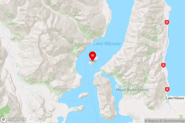
OtagoMou Waho Region Map
Coordinates
-44.55449845,169.080833584008 (latitude/longitude)Distances
The distance from Mou Waho, , Queenstown-Lakes District to NZ Top 10 Cities