Mou Tapu Area, Mou Tapu Postcode(9305) & Map in Mou Tapu
Mou Tapu Area, Mou Tapu Postcode(9305) & Map in Mou Tapu, Queenstown-Lakes District, New Zealand
Mou Tapu, Queenstown-Lakes District, New Zealand
Mou Tapu Postcodes
Mou Tapu Area (estimated)
1.5 square kilometersMou Tapu Population (estimated)
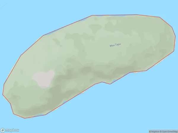
0 people live in Mou Tapu, Otago, NZMou Tapu Suburb Area Map (Polygon)
Region
Suburb Name
Mou TapuOther Name(s)
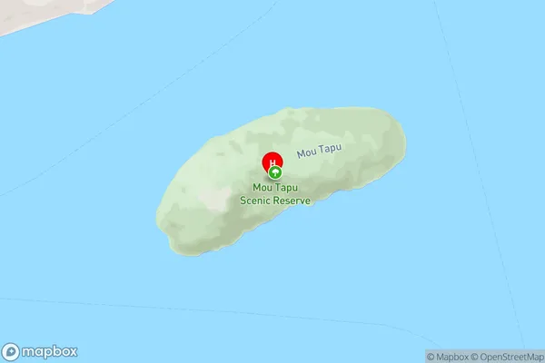
Lake Wanaka (Maori Name: Lake Wānaka)Mou Tapu Area Map (Street)
Local Authority
Queenstown-Lakes DistrictFull Address
Mou Tapu, Queenstown-Lakes District, New ZealandAddress Type
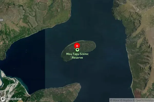
IslandMou Tapu Suburb Map (Satellite)
Country
Main Region in AU
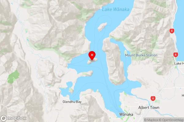
OtagoMou Tapu Region Map
Coordinates
-44.60873105,169.059864156257 (latitude/longitude)Distances
The distance from Mou Tapu, , Queenstown-Lakes District to NZ Top 10 Cities