Motuwi Island (Double Island) Area, Motuwi Island (Double Island) Postcode(3500) & Map in Motuwi Island (Double Island)
Motuwi Island (Double Island) Area, Motuwi Island (Double Island) Postcode(3500) & Map in Motuwi Island (Double Island), Thames-Coromandel District, New Zealand
Motuwi Island (Double Island), Thames-Coromandel District, New Zealand
Motuwi Island (Double Island) Postcodes
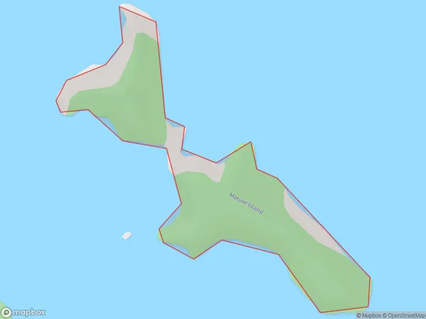
Motuwi Island (Double Island) Area (estimated)
0.2 square kilometersMotuwi Island (Double Island) Population (estimated)
0 people live in Motuwi Island (Double Island), Waikato, NZMotuwi Island (Double Island) Suburb Area Map (Polygon)
Motuwi Island (Double Island) Introduction
Motuwi Island is a small, uninhabited island in the Waikato region of New Zealand. It is part of the Double Island group and is known for its stunning natural beauty, including crystal-clear waters, white sand beaches, and lush vegetation. The island is a popular destination for outdoor activities such as hiking, kayaking, and snorkeling, and is also home to a variety of bird species.Region
Suburb Name
Motuwi Island (Double Island)Other Name(s)
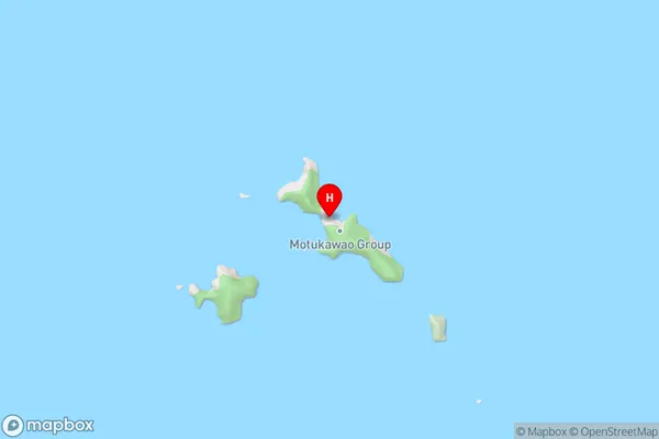
Motukawao Group, Double Island, Motuwi Island, Hauraki GulfMotuwi Island (Double Island) Area Map (Street)
Local Authority
Thames-Coromandel DistrictFull Address
Motuwi Island (Double Island), Thames-Coromandel District, New ZealandAddress Type
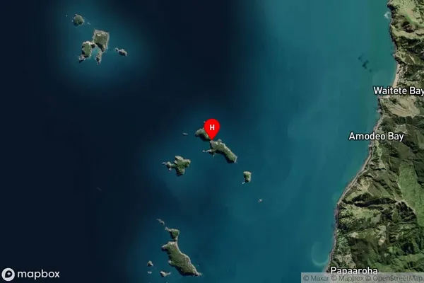
IslandMotuwi Island (Double Island) Suburb Map (Satellite)
Country
Main Region in AU
WaikatoMotuwi Island (Double Island) Region Map

Coordinates
-36.67514075,175.401601446184 (latitude/longitude)Distances
The distance from Motuwi Island (Double Island), , Thames-Coromandel District to NZ Top 10 Cities