Motuwhetero Island Area, Motuwhetero Island Postcode(3010) & Map in Motuwhetero Island
Motuwhetero Island Area, Motuwhetero Island Postcode(3010) & Map in Motuwhetero Island, Rotorua District, New Zealand
Motuwhetero Island, Rotorua District, New Zealand
Motuwhetero Island Postcodes
0Motuwhetero Island Population (estimated)
0 people live in Motuwhetero Island, Bay of Plenty, NZ0Motuwhetero Island Introduction
Motuwhetero Island is a small island in the Bay of Plenty, New Zealand. It is known for its stunning natural beauty, including crystal-clear waters, white sandy beaches, and lush tropical vegetation. The island is a popular destination for snorkeling, diving, and fishing, and is home to a variety of marine life, including dolphins, whales, and sea turtles. Motuwhetero Island is also a sacred site for the local Maori people, with numerous archaeological sites and cultural landmarks.Region
Suburb Name
Motuwhetero IslandOther Name(s)
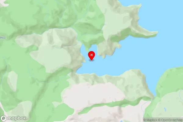
Lake Okataina/Te Moana i kataina a Te Rangitakaroro (Maori Name: Lake Ōkataina/Te Moana i kataina ā Te Rangitakaroro)Motuwhetero Island Area Map (Street)
Local Authority
Rotorua DistrictFull Address
Motuwhetero Island, Rotorua District, New ZealandAddress Type
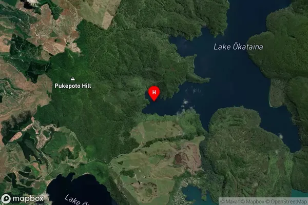
IslandMotuwhetero Island Suburb Map (Satellite)
Country
Main Region in AU
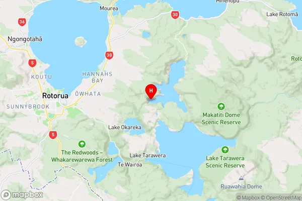
Bay of PlentyMotuwhetero Island Region Map
Coordinates
-38.1433097,176.3836067 (latitude/longitude)Distances
The distance from Motuwhetero Island, , Rotorua District to NZ Top 10 Cities