Motuwheteke Island Area, Motuwheteke Island Postcode & Map in Motuwheteke Island
Motuwheteke Island Area, Motuwheteke Island Postcode & Map in Motuwheteke Island, Far North District, New Zealand
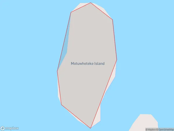
Motuwheteke Island, Far North District, New Zealand
Motuwheteke Island Area (estimated)
0.0 square kilometersMotuwheteke Island Population (estimated)
0 people live in Motuwheteke Island, Bay of Islands-Whangaroa Community, NZMotuwheteke Island Suburb Area Map (Polygon)
Motuwheteke Island Introduction
Motuwheteke Island is a small island located in the Bay of Islands, Northland, New Zealand. It is known for its stunning natural beauty, including lush forests, crystal-clear waters, and unique wildlife. The island is a popular destination for tourists and outdoor enthusiasts, with opportunities for hiking, kayaking, and snorkeling. It is also home to a historic stone church and a small community of residents.Region
Major City
Suburb Name
Motuwheteke IslandOther Name(s)
Bay Of IslandsMotuwheteke Island Area Map (Street)

Local Authority
Far North DistrictFull Address
Motuwheteke Island, Far North District, New ZealandAddress Type
IslandMotuwheteke Island Suburb Map (Satellite)

Country
Main Region in AU
NorthlandMotuwheteke Island Region Map

Coordinates
-35.20054855,174.28899628292 (latitude/longitude)Distances
The distance from Motuwheteke Island, , Far North District to NZ Top 10 Cities