Motutui Island Area, Motutui Island Postcode & Map in Motutui Island
Motutui Island Area, Motutui Island Postcode & Map in Motutui Island, Far North District, New Zealand
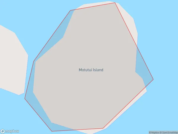
Motutui Island, Far North District, New Zealand
Motutui Island Area (estimated)
0.0 square kilometersMotutui Island Population (estimated)
0 people live in Motutui Island, Bay of Islands-Whangaroa Community, NZMotutui Island Suburb Area Map (Polygon)
Motutui Island Introduction
Motutui Island is a small island in the Bay of Islands, Northland, New Zealand. It is known for its beautiful beaches, crystal-clear waters, and diverse marine life. The island is a popular destination for tourists and is home to a small community of people.Region
Major City
Suburb Name
Motutui IslandOther Name(s)
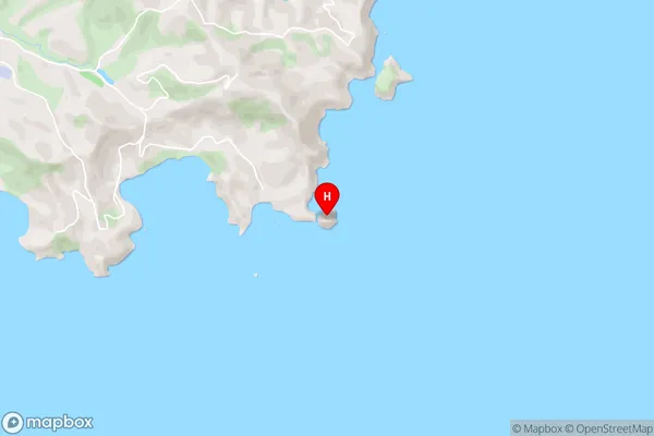
Bay Of IslandsMotutui Island Area Map (Street)
Local Authority
Far North DistrictFull Address
Motutui Island, Far North District, New ZealandAddress Type
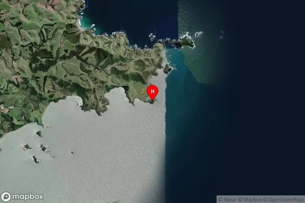
IslandMotutui Island Suburb Map (Satellite)
Country
Main Region in AU
NorthlandMotutui Island Region Map

Coordinates
-35.1711966,174.122142185725 (latitude/longitude)Distances
The distance from Motutui Island, , Far North District to NZ Top 10 Cities