Motutorutoru Island Area, Motutorutoru Island Postcode(4108) & Map in Motutorutoru Island
Motutorutoru Island Area, Motutorutoru Island Postcode(4108) & Map in Motutorutoru Island, Wairoa District, New Zealand
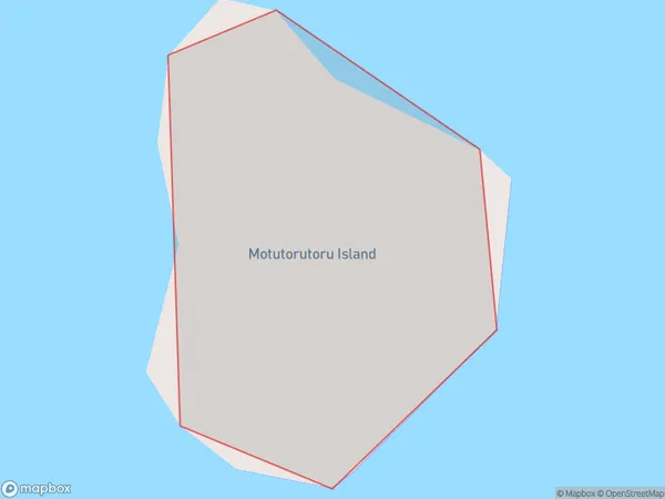
Motutorutoru Island, Wairoa District, New Zealand
Motutorutoru Island Postcodes
Motutorutoru Island Area (estimated)
0.0 square kilometersMotutorutoru Island Population (estimated)
0 people live in Motutorutoru Island, Hawke's Bay, NZMotutorutoru Island Suburb Area Map (Polygon)
Motutorutoru Island Introduction
Motutorutoru Island is a small island located in the Hawke's Bay region of New Zealand. It is known for its stunning natural beauty, including rugged cliffs, sandy beaches, and diverse wildlife. The island is a popular destination for outdoor activities such as hiking, kayaking, and birdwatching. It is also home to a small community of people who live off the land and maintain traditional Maori practices.Region
Suburb Name
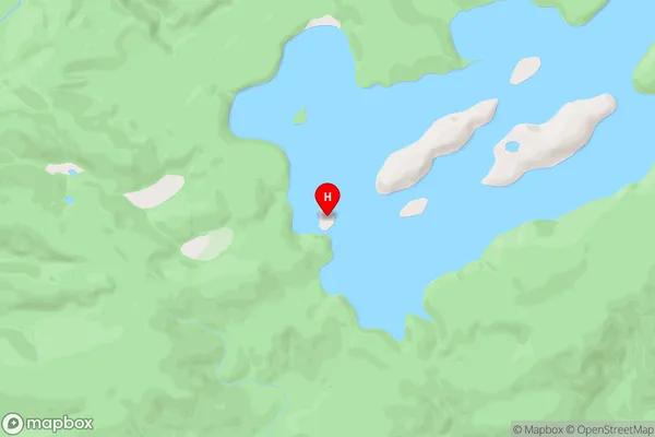
Motutorutoru IslandOther Name(s)
Lake WaikareitiMotutorutoru Island Area Map (Street)
Local Authority
Wairoa DistrictFull Address
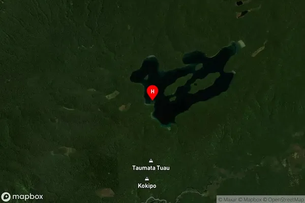
Motutorutoru Island, Wairoa District, New ZealandAddress Type
IslandMotutorutoru Island Suburb Map (Satellite)
Country
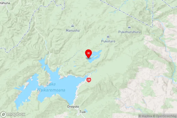
Main Region in AU
Hawke's BayMotutorutoru Island Region Map
Coordinates
-38.7169269,177.158539950132 (latitude/longitude)Distances
The distance from Motutorutoru Island, , Wairoa District to NZ Top 10 Cities