Motutohe Island Area, Motutohe Island Postcode & Map in Motutohe Island
Motutohe Island Area, Motutohe Island Postcode & Map in Motutohe Island, Whangarei District, New Zealand
Motutohe Island, Whangarei District, New Zealand
Motutohe Island Area (estimated)
0.0 square kilometersMotutohe Island Population (estimated)
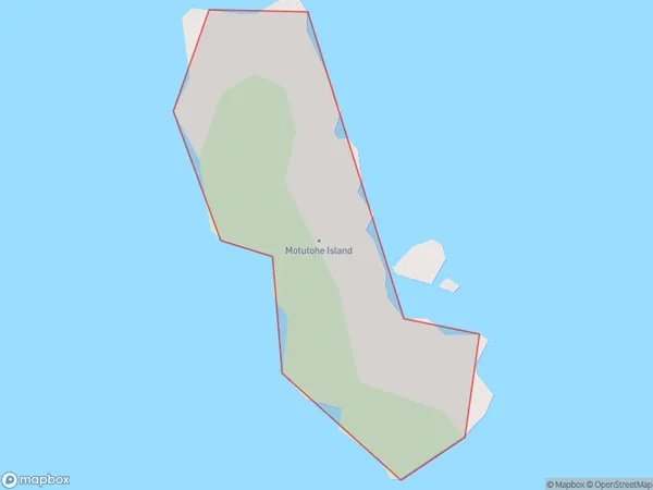
0 people live in Motutohe Island, Northland, NZMotutohe Island Suburb Area Map (Polygon)
Motutohe Island Introduction
Motutōhe Island is a small, uninhabited island in the Hokianga Harbour of Northland, New Zealand. It is known for its scenic beauty, including its rugged coastline, dense forests, and crystal-clear waters. The island is a popular destination for outdoor activities such as hiking, kayaking, and fishing, and is also home to a variety of bird species. Motutōhe Island is part of the Hokianga Islands Conservation Park, which is managed by the Department of Conservation.Region
Suburb Name
Motutohe IslandMotutohe Island Area Map (Street)

Local Authority
Whangarei DistrictFull Address
Motutohe Island, Whangarei District, New ZealandAddress Type
IslandMotutohe Island Suburb Map (Satellite)

Country
Main Region in AU
NorthlandMotutohe Island Region Map

Coordinates
-35.4875555,174.469844730878 (latitude/longitude)Distances
The distance from Motutohe Island, , Whangarei District to NZ Top 10 Cities