Motuti Island Area, Motuti Island Postcode & Map in Motuti Island
Motuti Island Area, Motuti Island Postcode & Map in Motuti Island, Whangarei District, New Zealand
Motuti Island, Whangarei District, New Zealand
Motuti Island Area (estimated)
0.0 square kilometersMotuti Island Population (estimated)
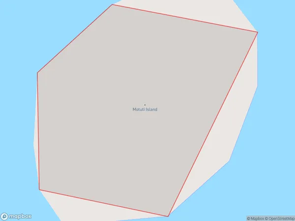
0 people live in Motuti Island, Northland, NZMotuti Island Suburb Area Map (Polygon)
Motuti Island Introduction
Motuti Island is a small, uninhabited island in the Bay of Islands, Northland, New Zealand. It is known for its stunning natural beauty, including crystal-clear waters, white sand beaches, and lush tropical forests. The island is a popular destination for day trips and overnight hikes, and is also home to a variety of bird species. Motuti Island is part of the Motuti Island Marine Reserve, which was established in 1987 to protect the island's unique marine environment.Region
Suburb Name
Motuti IslandOther Name(s)
Whangaruru HarbourMotuti Island Area Map (Street)

Local Authority
Whangarei DistrictFull Address
Motuti Island, Whangarei District, New ZealandAddress Type
IslandMotuti Island Suburb Map (Satellite)

Country
Main Region in AU
NorthlandMotuti Island Region Map

Coordinates
-35.3535821,174.352655223057 (latitude/longitude)Distances
The distance from Motuti Island, , Whangarei District to NZ Top 10 Cities