Motutawa Island Area, Motutawa Island Postcode & Map in Motutawa Island
Motutawa Island Area, Motutawa Island Postcode & Map in Motutawa Island, Rotorua District, New Zealand
Motutawa Island, Rotorua District, New Zealand
Motutawa Island Area (estimated)
0.1 square kilometersMotutawa Island Population (estimated)
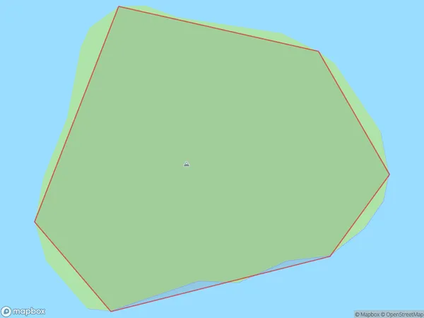
0 people live in Motutawa Island, Waikato, NZMotutawa Island Suburb Area Map (Polygon)
Motutawa Island Introduction
Motutawa Island is a small island located in the Bay of Plenty, New Zealand. It is known for its beautiful beaches, lush forests, and unique wildlife. The island has a population of around 100 people and is accessible by a short ferry ride from the town of Rotorua. Visitors can explore the island's walking trails, swim in the crystal-clear waters, and watch the resident birds and animals. Motutawa Island is also home to a historic stone church and a small museum that showcases the island's cultural heritage.Region
Major City
Suburb Name
Motutawa IslandOther Name(s)
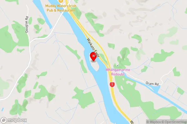
Lake Rotokakahi (Green Lake)Motutawa Island Area Map (Street)
Local Authority
Rotorua DistrictFull Address
Motutawa Island, Rotorua District, New ZealandAddress Type
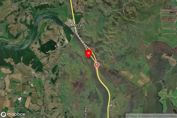
Island in City RotoruaMotutawa Island Suburb Map (Satellite)
Country
Main Region in AU
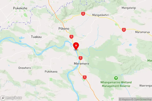
WaikatoMotutawa Island Region Map
Coordinates
-37.292249,175.055059510096 (latitude/longitude)Distances
The distance from Motutawa Island, Rotorua, Rotorua District to NZ Top 10 Cities