Motutapu Island Area, Motutapu Island Postcode(0622) & Map in Motutapu Island
Motutapu Island Area, Motutapu Island Postcode(0622) & Map in Motutapu Island, Auckland, New Zealand
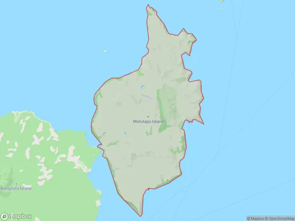
Motutapu Island, Auckland, New Zealand
Motutapu Island Postcodes
Motutapu Island Area (estimated)
18.7 square kilometersMotutapu Island Population (estimated)
1 people live in Motutapu Island, Waiheke, NZMotutapu Island Suburb Area Map (Polygon)
Motutapu Island Introduction
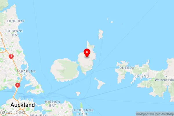
Motutapu Island is a volcanic island in the Hauraki Gulf, located in Auckland, New Zealand. It is known for its stunning natural beauty, including rugged cliffs, lush forests, and pristine beaches. The island is a popular destination for hiking, camping, and wildlife watching, with a variety of bird species and marine life. Motutapu Island is also home to the historic Motutapu Marae, a sacred site for the indigenous Māori people.Region
Major City
Suburb Name
Motutapu IslandOther Name(s)
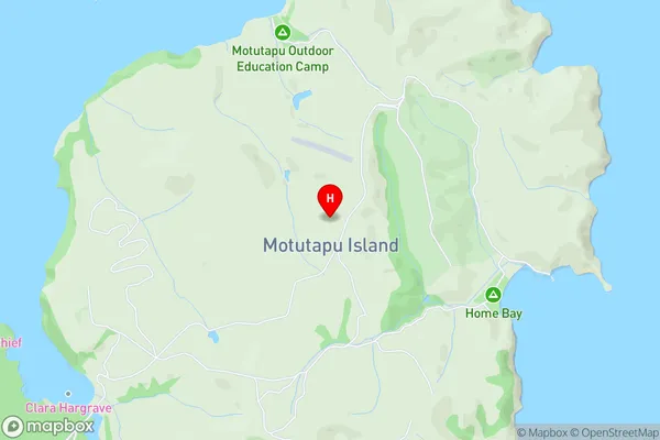
Hauraki GulfMotutapu Island Area Map (Street)
Local Authority
AucklandFull Address
Motutapu Island, Auckland, New ZealandAddress Type
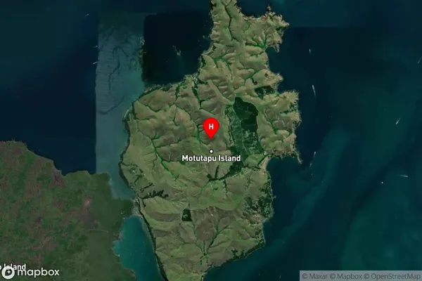
Island in City AucklandMotutapu Island Suburb Map (Satellite)
Country
Main Region in AU
AucklandMotutapu Island Region Map
Coordinates
-36.76334805,174.915576270849 (latitude/longitude)Distances
The distance from Motutapu Island, Auckland, Auckland to NZ Top 10 Cities