Motutapu Island Area, Motutapu Island Postcode & Map in Motutapu Island
Motutapu Island Area, Motutapu Island Postcode & Map in Motutapu Island, Far North District, New Zealand
Motutapu Island, Far North District, New Zealand
Motutapu Island Area (estimated)
0.0 square kilometersMotutapu Island Population (estimated)
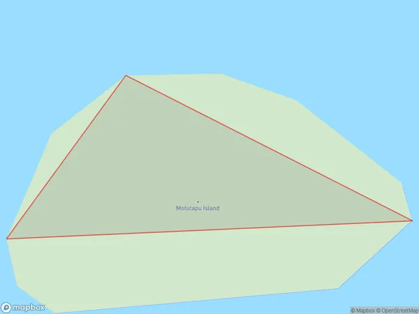
0 people live in Motutapu Island, Waiheke, NZMotutapu Island Suburb Area Map (Polygon)
Motutapu Island Introduction
Motutapu Island is a volcanic island in Auckland, New Zealand. It is home to a large population of seabirds and is a popular destination for hiking and camping. The island has a rich history and is considered sacred by the local Māori people. It is also known for its stunning views of the surrounding islands and the city skyline.Region
Major City
Suburb Name
Motutapu IslandOther Name(s)
Kerikeri InletMotutapu Island Area Map (Street)

Local Authority
Far North DistrictFull Address
Motutapu Island, Far North District, New ZealandAddress Type
IslandMotutapu Island Suburb Map (Satellite)

Country
Main Region in AU
AucklandMotutapu Island Region Map

Coordinates
-36.76334805,174.915576270849 (latitude/longitude)Distances
The distance from Motutapu Island, , Far North District to NZ Top 10 Cities