Motutapere Island Area, Motutapere Island Postcode & Map in Motutapere Island
Motutapere Island Area, Motutapere Island Postcode & Map in Motutapere Island, Far North District, New Zealand
Motutapere Island, Far North District, New Zealand
Motutapere Island Area (estimated)
0.1 square kilometersMotutapere Island Population (estimated)
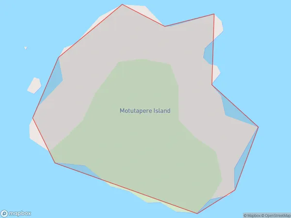
0 people live in Motutapere Island, Waikato, NZMotutapere Island Suburb Area Map (Polygon)
Region
Suburb Name
Motutapere IslandOther Name(s)
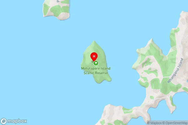
Cavalli IslandsMotutapere Island Area Map (Street)
Local Authority
Far North DistrictFull Address
Motutapere Island, Far North District, New ZealandAddress Type
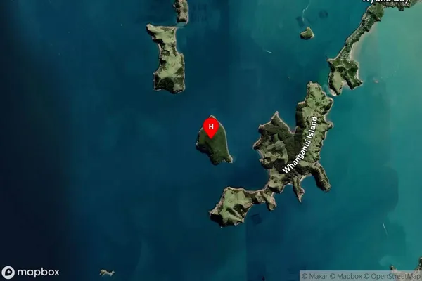
IslandMotutapere Island Suburb Map (Satellite)
Country
Main Region in AU
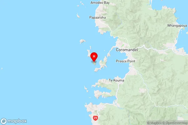
WaikatoMotutapere Island Region Map
Coordinates
-36.77960505,175.428363838792 (latitude/longitude)Distances
The distance from Motutapere Island, , Far North District to NZ Top 10 Cities