Motutaniwha Island Area, Motutaniwha Island Postcode & Map in Motutaniwha Island
Motutaniwha Island Area, Motutaniwha Island Postcode & Map in Motutaniwha Island, Whangarei District, New Zealand
Motutaniwha Island, Whangarei District, New Zealand
Motutaniwha Island Area (estimated)
0.0 square kilometersMotutaniwha Island Population (estimated)
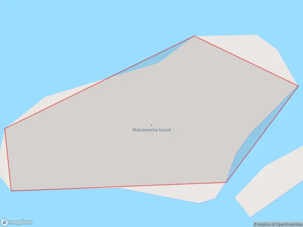
0 people live in Motutaniwha Island, Northland, NZMotutaniwha Island Suburb Area Map (Polygon)
Motutaniwha Island Introduction
Motutaniwha Island is a volcanic island in the Bay of Islands, Northland, New Zealand. It is known for its unique geological features, including the "Cathedral Rocks", a collection of basalt columns. The island is a popular tourist destination and is part of the Motutaniwha Conservation Park.Region
Suburb Name
Motutaniwha IslandOther Name(s)
Helena BayMotutaniwha Island Area Map (Street)

Local Authority
Whangarei DistrictFull Address
Motutaniwha Island, Whangarei District, New ZealandAddress Type
IslandMotutaniwha Island Suburb Map (Satellite)

Country
Main Region in AU
NorthlandMotutaniwha Island Region Map

Coordinates
-35.432212,174.383482046818 (latitude/longitude)Distances
The distance from Motutaniwha Island, , Whangarei District to NZ Top 10 Cities