Motutakupu Island Area, Motutakupu Island Postcode & Map in Motutakupu Island
Motutakupu Island Area, Motutakupu Island Postcode & Map in Motutakupu Island, Far North District, New Zealand
Motutakupu Island, Far North District, New Zealand
Motutakupu Island Area (estimated)
0.0 square kilometersMotutakupu Island Population (estimated)
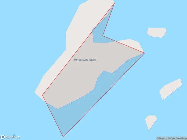
0 people live in Motutakupu Island, Northland, NZMotutakupu Island Suburb Area Map (Polygon)
Motutakupu Island Introduction
Motutakupu Island is a small island in the Bay of Islands, Northland, New Zealand. It is known for its beautiful beaches, crystal-clear waters, and rich cultural heritage. The island is a popular destination for tourists and is home to a small community of people who live off the land and sea.Region
Suburb Name
Motutakupu IslandOther Name(s)
Cavalli IslandsMotutakupu Island Area Map (Street)

Local Authority
Far North DistrictFull Address
Motutakupu Island, Far North District, New ZealandAddress Type
IslandMotutakupu Island Suburb Map (Satellite)

Country
Main Region in AU
NorthlandMotutakupu Island Region Map

Coordinates
-34.9807937,173.972532133424 (latitude/longitude)Distances
The distance from Motutakupu Island, , Far North District to NZ Top 10 Cities