Motutaiko Island Area, Motutaiko Island Postcode(0622) & Map in Motutaiko Island
Motutaiko Island Area, Motutaiko Island Postcode(0622) & Map in Motutaiko Island, Auckland, New Zealand
Motutaiko Island, Auckland, New Zealand
Motutaiko Island Postcodes
Motutaiko Island Area (estimated)
0.3 square kilometersMotutaiko Island Population (estimated)
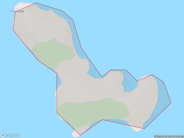
0 people live in Motutaiko Island, Aotea Great Barrier, NZMotutaiko Island Suburb Area Map (Polygon)
Motutaiko Island Introduction
Motutaiko Island is a small, forested island in the Hauraki Gulf, just off the coast of Auckland, New Zealand. It is known for its unique geological features, including a series of volcanic cones, and is a popular destination for hiking, camping, and nature photography. The island has a rich cultural history, with evidence of human settlement dating back thousands of years. It is also home to a small population of native birds, including the rare kiwi bird.Region
Major City
Suburb Name
Motutaiko IslandOther Name(s)
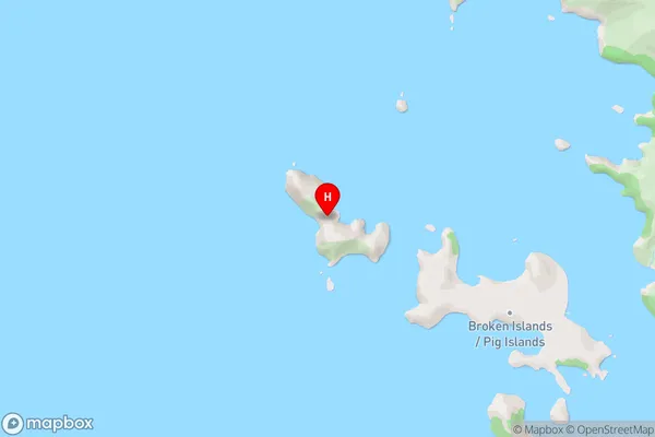
Broken Islands (Pig Islands), Hauraki GulfMotutaiko Island Area Map (Street)
Local Authority
AucklandFull Address
Motutaiko Island, Auckland, New ZealandAddress Type
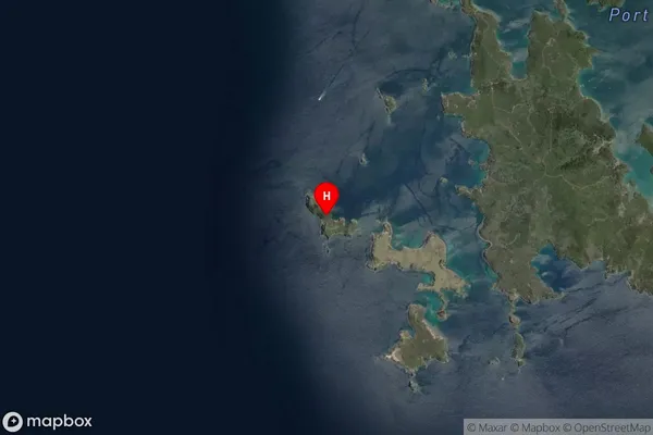
IslandMotutaiko Island Suburb Map (Satellite)
Country
Main Region in AU
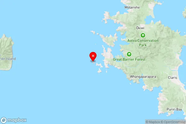
AucklandMotutaiko Island Region Map
Coordinates
-36.2161683,175.288373187824 (latitude/longitude)Distances
The distance from Motutaiko Island, , Auckland to NZ Top 10 Cities