Moturua Island Area, Moturua Island Postcode & Map in Moturua Island
Moturua Island Area, Moturua Island Postcode & Map in Moturua Island, Far North District, New Zealand
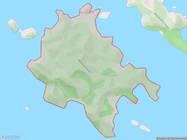
Moturua Island, Far North District, New Zealand
Moturua Island Area (estimated)
2.0 square kilometersMoturua Island Population (estimated)
0 people live in Moturua Island, Bay of Islands-Whangaroa Community, NZMoturua Island Suburb Area Map (Polygon)
Moturua Island Introduction
Moturua Island is a small, picturesque island in the Bay of Islands, Northland, New Zealand. It is known for its stunning natural beauty, including crystal-clear waters, lush forests, and picturesque beaches. The island is a popular destination for tourists and is home to a variety of wildlife, including birds, dolphins, and seals. Moturua Island is also a popular filming location, with several movies and TV shows having been shot on the island over the years.Region
Major City
Suburb Name
Moturua IslandOther Name(s)
Bay Of IslandsMoturua Island Area Map (Street)

Local Authority
Far North DistrictFull Address
Moturua Island, Far North District, New ZealandAddress Type
IslandMoturua Island Suburb Map (Satellite)

Country
Main Region in AU
NorthlandMoturua Island Region Map

Coordinates
-35.2236859,174.191371307113 (latitude/longitude)Distances
The distance from Moturua Island, , Far North District to NZ Top 10 Cities