Moturoa Island Area, Moturoa Island Postcode & Map in Moturoa Island
Moturoa Island Area, Moturoa Island Postcode & Map in Moturoa Island, Kaipara District, New Zealand
Moturoa Island, Kaipara District, New Zealand
Moturoa Island Area (estimated)
0.0 square kilometersMoturoa Island Population (estimated)
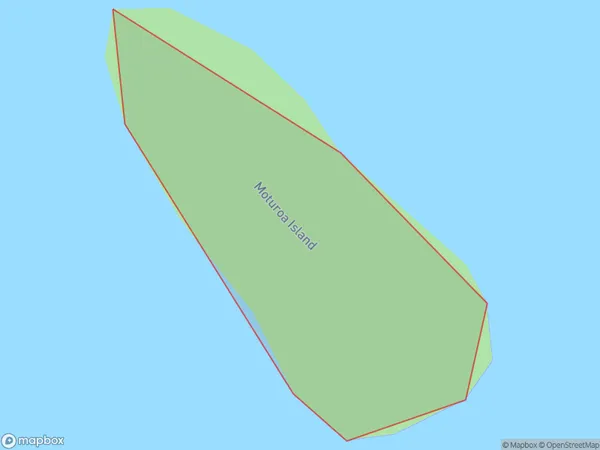
0 people live in Moturoa Island, Bay of Islands-Whangaroa Community, NZMoturoa Island Suburb Area Map (Polygon)
Moturoa Island Introduction
Moturoa Island is a small, privately owned island in the Hauraki Gulf, Northland, New Zealand. It is known for its stunning beaches, clear waters, and unique wildlife, including the rare Northland brown kiwi. The island has a population of around 50 people and is accessible by a 30-minute ferry ride from Whangarei.Region
Major City
Suburb Name
Moturoa IslandOther Name(s)
Kaipara HarbourMoturoa Island Area Map (Street)

Local Authority
Kaipara DistrictFull Address
Moturoa Island, Kaipara District, New ZealandAddress Type
IslandMoturoa Island Suburb Map (Satellite)

Country
Main Region in AU
NorthlandMoturoa Island Region Map

Coordinates
-35.20974655,174.090522652306 (latitude/longitude)Distances
The distance from Moturoa Island, , Kaipara District to NZ Top 10 Cities