Moturiki Island Area, Moturiki Island Postcode & Map in Moturiki Island
Moturiki Island Area, Moturiki Island Postcode & Map in Moturiki Island, Tauranga City,
Moturiki Island, Tauranga City,
Moturiki Island Area (estimated)
0.0 square kilometersMoturiki Island Population (estimated)
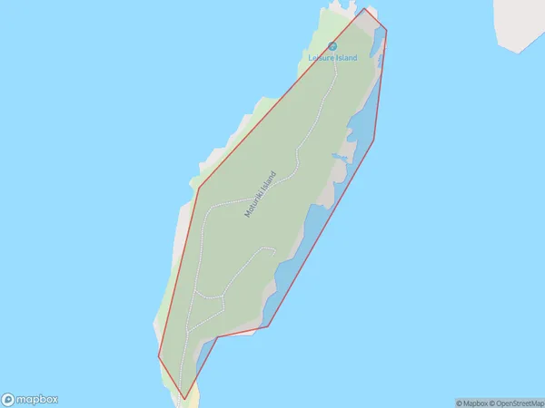
0 people live in Moturiki Island, Brighton, NZMoturiki Island Suburb Area Map (Polygon)
Moturiki Island Introduction
Moturiki Island is a small island in the Otago Harbour, New Zealand. It is known for its beautiful beaches, native birdlife, and historic ruins of a former whaling station. The island is accessible by a short ferry ride from Dunedin or Port Chalmers. Visitors can explore the island's walking trails, visit the historic ruins, or relax on the beach and enjoy the stunning views.Region
Major City
Suburb Name
Moturiki IslandOther Name(s)
Leisure Island, The Blowhole Mt Maunganui, Bay Of PlentyMoturiki Island Area Map (Street)
Local Authority
Tauranga CityFull Address
Moturiki Island, Tauranga City,Address Type
IslandMoturiki Island Suburb Map (Satellite)
Country
Main Region in AU
OtagoMoturiki Island Region Map
Coordinates
0,0 (latitude/longitude)Distances
The distance from Moturiki Island, , Tauranga City to NZ Top 10 Cities