Moturewa Island Area, Moturewa Island Postcode & Map in Moturewa Island
Moturewa Island Area, Moturewa Island Postcode & Map in Moturewa Island, Area outside Territorial Authority, New Zealand
Moturewa Island, Area outside Territorial Authority, New Zealand
Moturewa Island Area (estimated)
0.0 square kilometersMoturewa Island Population (estimated)
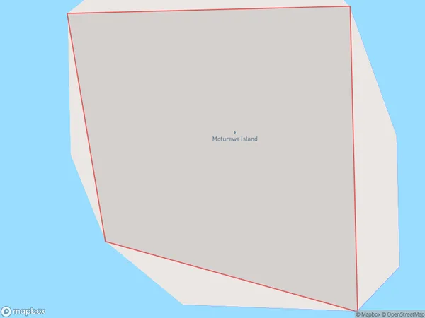
0 people live in Moturewa Island, Northland, NZMoturewa Island Suburb Area Map (Polygon)
Moturewa Island Introduction
Moturewa Island is a small island in the Bay of Islands, Northland, New Zealand. It is known for its historic stone fortifications, beautiful beaches, and diverse marine life. The island is a popular destination for tourists and has a population of around 100 people. Moturewa Island is also home to a large colony of New Zealand fur seals.Region
Suburb Name
Moturewa IslandMoturewa Island Area Map (Street)

Local Authority
Area outside Territorial AuthorityFull Address
Moturewa Island, Area outside Territorial Authority, New ZealandAddress Type
IslandMoturewa Island Suburb Map (Satellite)

Country
Main Region in AU
NorthlandMoturewa Island Region Map

Coordinates
-35.72254125,174.57032935082 (latitude/longitude)Distances
The distance from Moturewa Island, , Area outside Territorial Authority to NZ Top 10 Cities