Moturemu Island Area, Moturemu Island Postcode(1148) & Map in Moturemu Island
Moturemu Island Area, Moturemu Island Postcode(1148) & Map in Moturemu Island, Auckland, New Zealand
Moturemu Island, Auckland, New Zealand
Moturemu Island Postcodes
Moturemu Island Area (estimated)
0.1 square kilometersMoturemu Island Population (estimated)
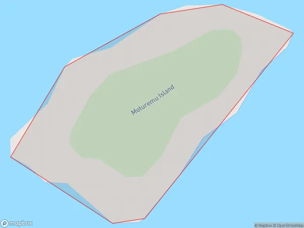
0 people live in Moturemu Island, Rodney, NZMoturemu Island Suburb Area Map (Polygon)
Moturemu Island Introduction
Moturemu Island is a pest-free, predator-free island sanctuary in the Hauraki Gulf, 30 minutes from Auckland City. It is a place of exceptional natural beauty, with native forest, beaches, and a variety of wildlife. Visitors can walk the tracks, camp, or kayak and enjoy the stunning views and peaceful environment. The island is also home to a research facility studying the effects of pest control methods on wildlife populations.Region
Major City
Suburb Name
Moturemu IslandOther Name(s)
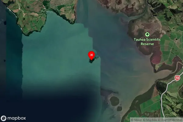
Kaipara HarbourMoturemu Island Area Map (Street)
Local Authority
AucklandFull Address
Moturemu Island, Auckland, New ZealandAddress Type
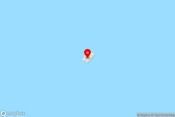
IslandMoturemu Island Suburb Map (Satellite)
Country
Main Region in AU
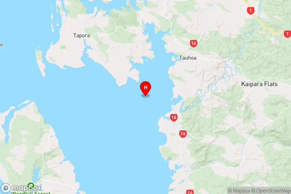
AucklandMoturemu Island Region Map
Coordinates
-36.4225674,174.392729887933 (latitude/longitude)Distances
The distance from Moturemu Island, , Auckland to NZ Top 10 Cities