Moturaka Island Area, Moturaka Island Postcode & Map in Moturaka Island
Moturaka Island Area, Moturaka Island Postcode & Map in Moturaka Island, Whangarei District, New Zealand
Moturaka Island, Whangarei District, New Zealand
Moturaka Island Area (estimated)
0.0 square kilometersMoturaka Island Population (estimated)
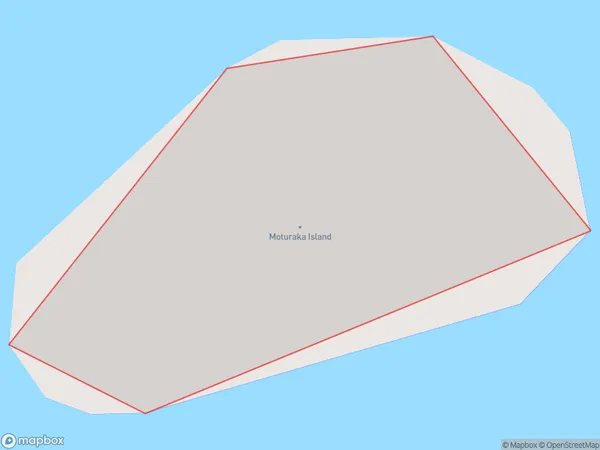
0 people live in Moturaka Island, Northland, NZMoturaka Island Suburb Area Map (Polygon)
Moturaka Island Introduction
Moturaka Island is a small, uninhabited island in the Bay of Islands, Northland, New Zealand. It is known for its scenic beauty, including rugged cliffs, pristine beaches, and diverse marine life. The island is a popular destination for hiking, kayaking, and snorkeling, and is part of the Moturaka Island Marine Reserve.Region
Suburb Name
Moturaka IslandOther Name(s)
Bream IslandsMoturaka Island Area Map (Street)

Local Authority
Whangarei DistrictFull Address
Moturaka Island, Whangarei District, New ZealandAddress Type
IslandMoturaka Island Suburb Map (Satellite)

Country
Main Region in AU
NorthlandMoturaka Island Region Map

Coordinates
-35.83836485,174.580353091338 (latitude/longitude)Distances
The distance from Moturaka Island, , Whangarei District to NZ Top 10 Cities