Moturahurahu Island Area, Moturahurahu Island Postcode & Map in Moturahurahu Island
Moturahurahu Island Area, Moturahurahu Island Postcode & Map in Moturahurahu Island, Far North District, New Zealand
Moturahurahu Island, Far North District, New Zealand
Moturahurahu Island Area (estimated)
0.0 square kilometersMoturahurahu Island Population (estimated)
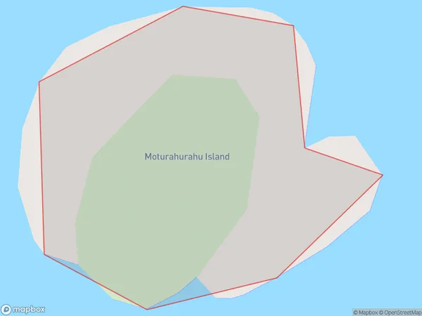
0 people live in Moturahurahu Island, Northland, NZMoturahurahu Island Suburb Area Map (Polygon)
Moturahurahu Island Introduction
Moturahurahu Island is a small, uninhabited island in the Bay of Islands, Northland, New Zealand. It is known for its unique geological features, including a volcanic cone and a series of arches. The island is a popular destination for tourists and is accessible by boat from Paihia or Russell.Region
Suburb Name
Moturahurahu IslandOther Name(s)
Bay Of IslandsMoturahurahu Island Area Map (Street)

Local Authority
Far North DistrictFull Address
Moturahurahu Island, Far North District, New ZealandAddress Type
IslandMoturahurahu Island Suburb Map (Satellite)

Country
Main Region in AU
NorthlandMoturahurahu Island Region Map

Coordinates
-35.41061495,174.361312338374 (latitude/longitude)Distances
The distance from Moturahurahu Island, , Far North District to NZ Top 10 Cities