Motupohukuo Island (Turkey Island) Area, Motupohukuo Island (Turkey Island) Postcode(3500) & Map in Motupohukuo Island (Turkey Island)
Motupohukuo Island (Turkey Island) Area, Motupohukuo Island (Turkey Island) Postcode(3500) & Map in Motupohukuo Island (Turkey Island), Thames-Coromandel District, New Zealand
Motupohukuo Island (Turkey Island), Thames-Coromandel District, New Zealand
Motupohukuo Island (Turkey Island) Postcodes
Motupohukuo Island (Turkey Island) Area (estimated)
0.0 square kilometersMotupohukuo Island (Turkey Island) Population (estimated)
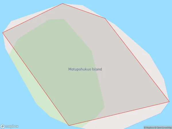
0 people live in Motupohukuo Island (Turkey Island), Waikato, NZMotupohukuo Island (Turkey Island) Suburb Area Map (Polygon)
Motupohukuo Island (Turkey Island) Introduction
Motupohukuo Island is a small, uninhabited island in the Waikato region of New Zealand. It is part of the Motuarohanga Island Group and is situated in the Bay of Islands. The island is known for its scenic beauty, including rugged cliffs, pristine beaches, and diverse marine life. It is also a popular destination for kayaking, fishing, and snorkeling. The island has a rich history, with evidence of human settlement dating back to the 13th century. It was once used as a penal colony and later as a farm. Today, it is protected as a wildlife reserve and is a popular tourist attraction.Region
Suburb Name
Motupohukuo Island (Turkey Island)Other Name(s)
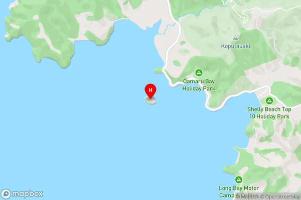
Motupohukuo Island, Turkey Island, Hauraki GulfMotupohukuo Island (Turkey Island) Area Map (Street)
Local Authority
Thames-Coromandel DistrictFull Address
Motupohukuo Island (Turkey Island), Thames-Coromandel District, New ZealandAddress Type
IslandMotupohukuo Island (Turkey Island) Suburb Map (Satellite)

Country
Main Region in AU
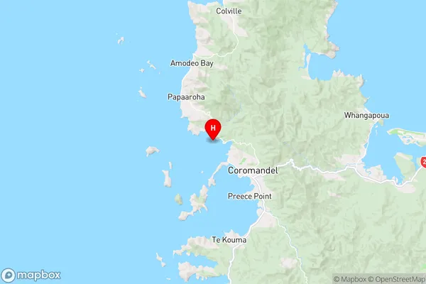
WaikatoMotupohukuo Island (Turkey Island) Region Map
Coordinates
-36.7352321,175.462021407858 (latitude/longitude)Distances
The distance from Motupohukuo Island (Turkey Island), , Thames-Coromandel District to NZ Top 10 Cities