Motupapa Island Area, Motupapa Island Postcode(1148) & Map in Motupapa Island
Motupapa Island Area, Motupapa Island Postcode(1148) & Map in Motupapa Island, Auckland, New Zealand
Motupapa Island, Auckland, New Zealand
Motupapa Island Postcodes
Motupapa Island Area (estimated)
0.0 square kilometersMotupapa Island Population (estimated)
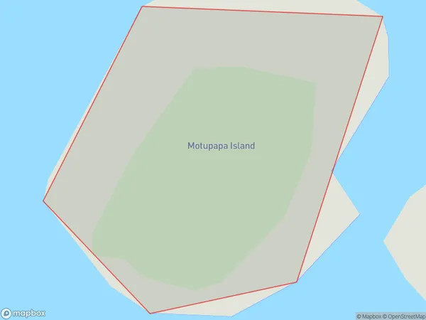
0 people live in Motupapa Island, Aotea Great Barrier, NZMotupapa Island Suburb Area Map (Polygon)
Motupapa Island Introduction
Motupapa Island is a small, remote island in the Hauraki Gulf, known for its stunning natural beauty, rich cultural heritage, and unique wildlife. It is part of the Rangitoto Island Group and is accessible by a scenic ferry ride from Auckland. The island has a population of around 100 people and is home to a variety of plant and animal species, including the rare and endangered Motupapa snipe. Motupapa Island has been designated a UNESCO World Heritage Site due to its cultural and natural significance.Region
Major City
Suburb Name
Motupapa IslandOther Name(s)
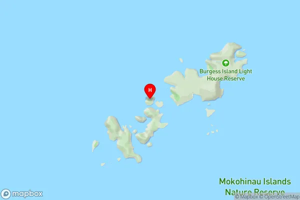
Flax Islands, Mokohinau IslandsMotupapa Island Area Map (Street)
Local Authority
AucklandFull Address
Motupapa Island, Auckland, New ZealandAddress Type
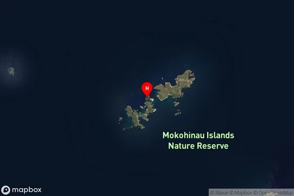
IslandMotupapa Island Suburb Map (Satellite)
Country
Main Region in AU
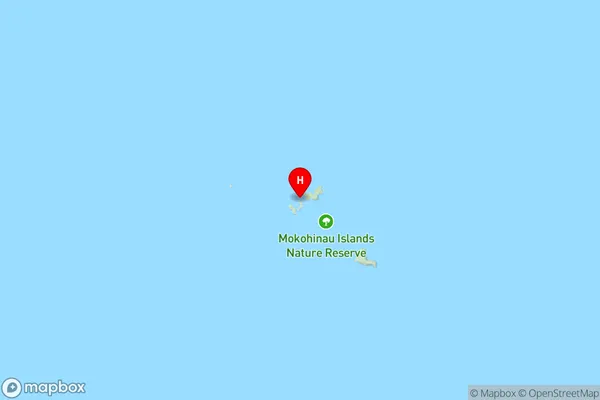
AucklandMotupapa Island Region Map
Coordinates
-35.9077935,175.103688167619 (latitude/longitude)Distances
The distance from Motupapa Island, , Auckland to NZ Top 10 Cities