Motuouhi Island Area, Motuouhi Island Postcode & Map in Motuouhi Island
Motuouhi Island Area, Motuouhi Island Postcode & Map in Motuouhi Island, Kaipara District, New Zealand
Motuouhi Island, Kaipara District, New Zealand
Motuouhi Island Area (estimated)
0.0 square kilometersMotuouhi Island Population (estimated)
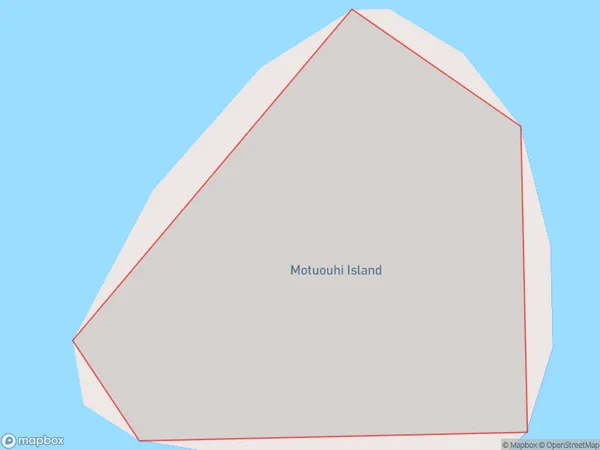
0 people live in Motuouhi Island, Northland, NZMotuouhi Island Suburb Area Map (Polygon)
Motuouhi Island Introduction
Motuouhi Island is a small, uninhabited island in the Bay of Islands, Northland, New Zealand. It is known for its stunning natural beauty, including crystal-clear waters, white sandy beaches, and lush tropical vegetation. The island is a popular destination for snorkeling, diving, and kayaking, and is also home to a variety of bird species. Motuouhi Island is part of the Motuou Islands Conservation Area, which is managed by the Department of Conservation.Region
Suburb Name
Motuouhi IslandOther Name(s)
Kaipara HarbourMotuouhi Island Area Map (Street)

Local Authority
Kaipara DistrictFull Address
Motuouhi Island, Kaipara District, New ZealandAddress Type
IslandMotuouhi Island Suburb Map (Satellite)

Country
Main Region in AU
NorthlandMotuouhi Island Region Map

Coordinates
-36.2896638,174.27319253446 (latitude/longitude)Distances
The distance from Motuouhi Island, , Kaipara District to NZ Top 10 Cities