Motuoruhi Island (Goat Island) Area, Motuoruhi Island (Goat Island) Postcode(3500) & Map in Motuoruhi Island (Goat Island)
Motuoruhi Island (Goat Island) Area, Motuoruhi Island (Goat Island) Postcode(3500) & Map in Motuoruhi Island (Goat Island), Thames-Coromandel District, New Zealand
Motuoruhi Island (Goat Island), Thames-Coromandel District, New Zealand
Motuoruhi Island (Goat Island) Postcodes
Motuoruhi Island (Goat Island) Area (estimated)
0.7 square kilometersMotuoruhi Island (Goat Island) Population (estimated)
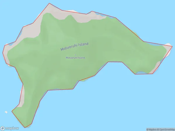
0 people live in Motuoruhi Island (Goat Island), Waikato, NZMotuoruhi Island (Goat Island) Suburb Area Map (Polygon)
Motuoruhi Island (Goat Island) Introduction
Motuoruhi Island is a small, uninhabited island in the Waikato region of New Zealand. It is known for its unique geological features, including a volcanic cone and a series of arches. The island is a popular destination for birdwatchers and nature enthusiasts and is part of the Motuoruhi Island Reserve, which is managed by the Department of Conservation.Region
Suburb Name
Motuoruhi Island (Goat Island)Other Name(s)
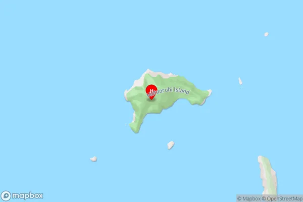
Goat Island, Motuoruhi Island, Hauraki GulfMotuoruhi Island (Goat Island) Area Map (Street)
Local Authority
Thames-Coromandel DistrictFull Address
Motuoruhi Island (Goat Island), Thames-Coromandel District, New ZealandAddress Type
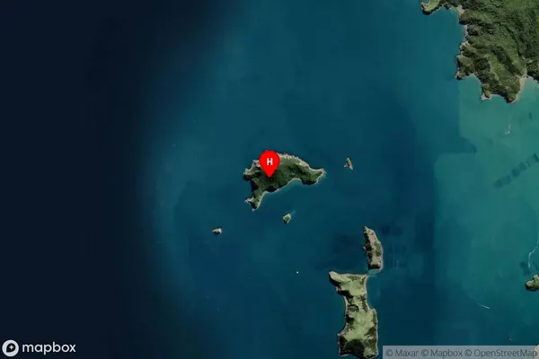
IslandMotuoruhi Island (Goat Island) Suburb Map (Satellite)
Country
Main Region in AU
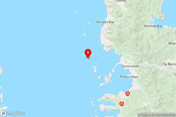
WaikatoMotuoruhi Island (Goat Island) Region Map
Coordinates
-36.74275355,175.401163054149 (latitude/longitude)Distances
The distance from Motuoruhi Island (Goat Island), , Thames-Coromandel District to NZ Top 10 Cities