Motuoroi Island Area, Motuoroi Island Postcode & Map in Motuoroi Island
Motuoroi Island Area, Motuoroi Island Postcode & Map in Motuoroi Island, Area outside Territorial Authority, New Zealand
Motuoroi Island, Area outside Territorial Authority, New Zealand
Motuoroi Island Area (estimated)
0.2 square kilometersMotuoroi Island Population (estimated)
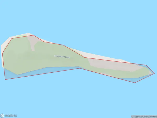
0 people live in Motuoroi Island, Gisborne, NZMotuoroi Island Suburb Area Map (Polygon)
Motuoroi Island Introduction
Motuoroi Island is a small, uninhabited island in the Gisborne Region of New Zealand. It is part of the Mahia Peninsula and is known for its scenic beauty, including rugged cliffs, sandy beaches, and native forests. The island is a popular destination for day trips and outdoor activities such as hiking, fishing, and kayaking. It is also home to a small population of native birds, including the rare tui.Region
Suburb Name
Motuoroi IslandMotuoroi Island Area Map (Street)

Local Authority
Area outside Territorial AuthorityFull Address
Motuoroi Island, Area outside Territorial Authority, New ZealandAddress Type
IslandMotuoroi Island Suburb Map (Satellite)

Country
Main Region in AU
GisborneMotuoroi Island Region Map

Coordinates
-38.2486076,178.335839501872 (latitude/longitude)Distances
The distance from Motuoroi Island, , Area outside Territorial Authority to NZ Top 10 Cities