Motuora Island Area, Motuora Island Postcode(0622) & Map in Motuora Island
Motuora Island Area, Motuora Island Postcode(0622) & Map in Motuora Island, Auckland, New Zealand
Motuora Island, Auckland, New Zealand
Motuora Island Postcodes
Motuora Island Area (estimated)
1.0 square kilometersMotuora Island Population (estimated)
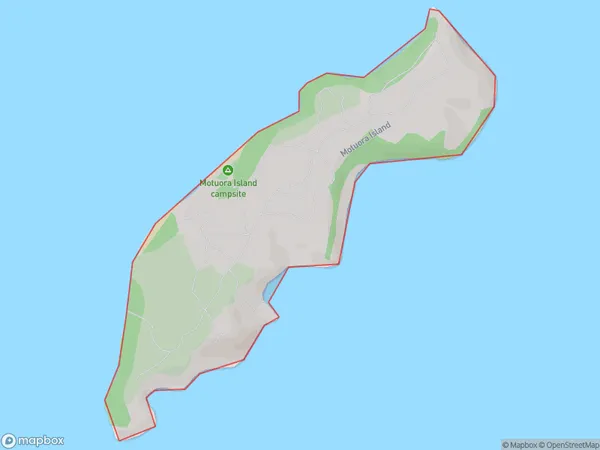
0 people live in Motuora Island, Rodney, NZMotuora Island Suburb Area Map (Polygon)
Motuora Island Introduction
Motuora Island is a small island in the Hauraki Gulf, located off the coast of Auckland, New Zealand. It is known for its stunning natural beauty, including lush forests, crystal-clear waters, and diverse marine life. The island is a popular destination for hiking, camping, and snorkeling, and is home to a small community of residents. Motuora Island is also a significant conservation area, with many rare and endangered species of plants and animals.Region
Major City
Suburb Name
Motuora IslandOther Name(s)
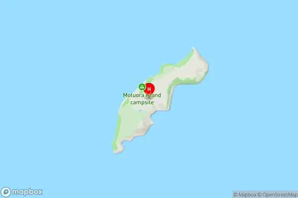
Hauraki GulfMotuora Island Area Map (Street)
Local Authority
AucklandFull Address
Motuora Island, Auckland, New ZealandAddress Type
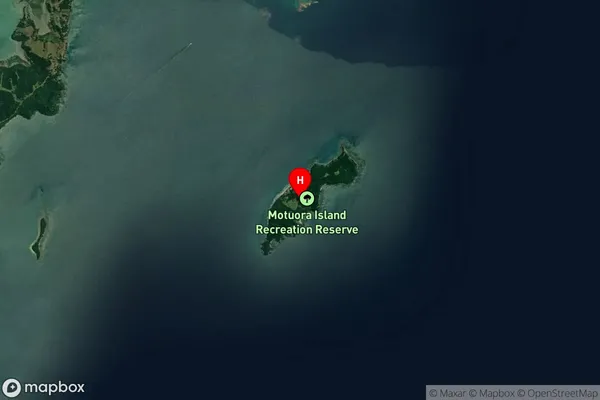
IslandMotuora Island Suburb Map (Satellite)
Country
Main Region in AU
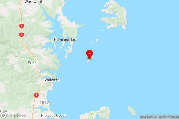
AucklandMotuora Island Region Map
Coordinates
-36.5057822,174.792128476058 (latitude/longitude)Distances
The distance from Motuora Island, , Auckland to NZ Top 10 Cities