Motuopuhi Island Area, Motuopuhi Island Postcode(3330) & Map in Motuopuhi Island
Motuopuhi Island Area, Motuopuhi Island Postcode(3330) & Map in Motuopuhi Island, Taupo District, New Zealand
Motuopuhi Island, Taupo District, New Zealand
Motuopuhi Island Postcodes
Motuopuhi Island Area (estimated)
0.1 square kilometersMotuopuhi Island Population (estimated)
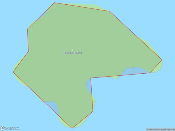
0 people live in Motuopuhi Island, Waikato, NZMotuopuhi Island Suburb Area Map (Polygon)
Region
Suburb Name
Motuopuhi IslandOther Name(s)
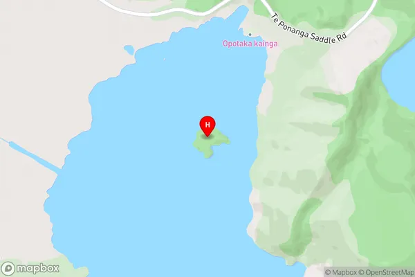
Lake RotoairaMotuopuhi Island Area Map (Street)
Local Authority
Taupo DistrictFull Address
Motuopuhi Island, Taupo District, New ZealandAddress Type
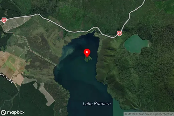
IslandMotuopuhi Island Suburb Map (Satellite)
Country
Main Region in AU
WaikatoMotuopuhi Island Region Map

Coordinates
-39.0330269,175.7091795 (latitude/longitude)Distances
The distance from Motuopuhi Island, , Taupo District to NZ Top 10 Cities