Motuopao Island Area, Motuopao Island Postcode & Map in Motuopao Island
Motuopao Island Area, Motuopao Island Postcode & Map in Motuopao Island, Far North District, New Zealand
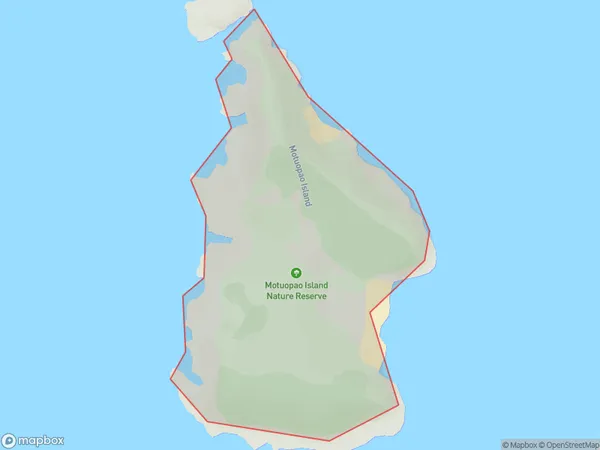
Motuopao Island, Far North District, New Zealand
Motuopao Island Area (estimated)
0.4 square kilometersMotuopao Island Population (estimated)
0 people live in Motuopao Island, Te Hiku Community, NZMotuopao Island Suburb Area Map (Polygon)
Motuopao Island Introduction
Motuopao Island is a small, uninhabited island in the Bay of Islands, Northland, New Zealand. It is known for its stunning natural beauty, including crystal-clear waters, white sandy beaches, and lush tropical vegetation. The island is a popular destination for hiking, snorkeling, and kayaking, and is part of the Motuopao Island Marine Reserve, which is a protected area covering over 100 square kilometers.Region
Major City
Suburb Name
Motuopao IslandMotuopao Island Area Map (Street)

Local Authority
Far North DistrictFull Address
Motuopao Island, Far North District, New ZealandAddress Type
IslandMotuopao Island Suburb Map (Satellite)

Country
Main Region in AU
NorthlandMotuopao Island Region Map

Coordinates
-34.47011385,172.638419884929 (latitude/longitude)Distances
The distance from Motuopao Island, , Far North District to NZ Top 10 Cities