Motuoi Island Area, Motuoi Island Postcode & Map in Motuoi Island
Motuoi Island Area, Motuoi Island Postcode & Map in Motuoi Island, Far North District, New Zealand
Motuoi Island, Far North District, New Zealand
Motuoi Island Area (estimated)
0.0 square kilometersMotuoi Island Population (estimated)
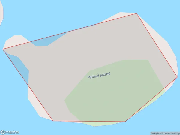
0 people live in Motuoi Island, Bay of Islands-Whangaroa Community, NZMotuoi Island Suburb Area Map (Polygon)
Motuoi Island Introduction
Motuoi Island is a small, uninhabited island in the Bay of Islands, Northland, New Zealand. It is known for its scenic beauty, including rugged cliffs, sandy beaches, and lush forests. The island is a popular destination for hiking, kayaking, and birdwatching, and is part of the Motuoi Island Marine Reserve.Region
Major City
Suburb Name
Motuoi IslandOther Name(s)
Bay Of IslandsMotuoi Island Area Map (Street)

Local Authority
Far North DistrictFull Address
Motuoi Island, Far North District, New ZealandAddress Type
IslandMotuoi Island Suburb Map (Satellite)

Country
Main Region in AU
NorthlandMotuoi Island Region Map

Coordinates
-35.21890825,174.182111650185 (latitude/longitude)Distances
The distance from Motuoi Island, , Far North District to NZ Top 10 Cities