Ardmore Area, Ardmore Postcode(2582) & Map in Ardmore
Ardmore Area, Ardmore Postcode(2582) & Map in Ardmore, Auckland, New Zealand
Ardmore, Auckland, New Zealand
Ardmore Postcodes
Ardmore Area (estimated)
25.2 square kilometersArdmore Population (estimated)
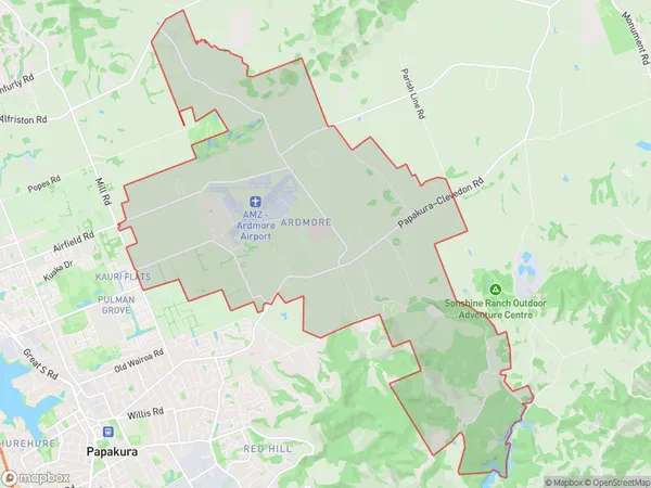
768 people live in Ardmore, Franklin, NZArdmore Suburb Area Map (Polygon)
Ardmore Introduction
Ardmore is a suburb in Auckland, New Zealand, with a rich history and a diverse population. It is known for its beautiful parks, tree-lined streets, and vibrant community. The area has a variety of housing options, from historic homes to modern apartments, and is popular with families, young professionals, and retirees. Ardmore is also home to several popular restaurants, cafes, and shopping centers, including the popular Westfield Shopping Center.Region
Major City
Suburb Name
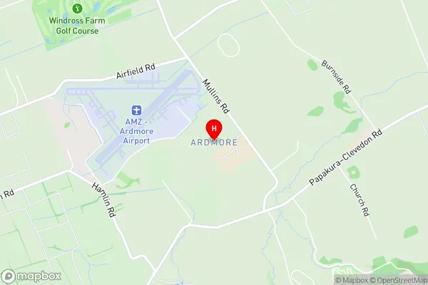
ArdmoreArdmore Area Map (Street)
Local Authority
AucklandFull Address
Ardmore, Auckland, New ZealandAddress Type
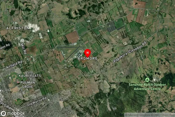
Locality in Town PapakuraArdmore Suburb Map (Satellite)
Country
Main Region in AU
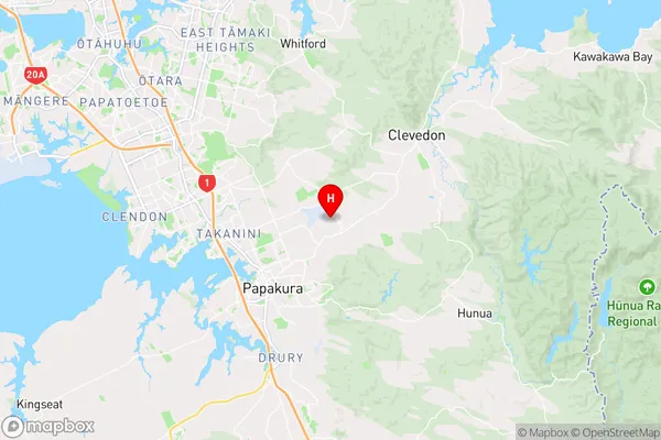
AucklandArdmore Region Map
Coordinates
-37.0333574,174.9831104 (latitude/longitude)Distances
The distance from Ardmore, Papakura, Auckland to NZ Top 10 Cities