Motunui Island Area, Motunui Island Postcode & Map in Motunui Island
Motunui Island Area, Motunui Island Postcode & Map in Motunui Island, Area outside Territorial Authority,
Motunui Island, Area outside Territorial Authority,
Motunui Island Area (estimated)
0.0 square kilometersMotunui Island Population (estimated)
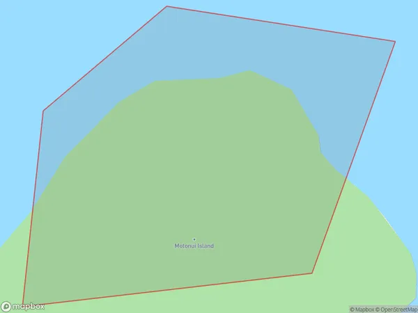
0 people live in Motunui Island, Brighton, NZMotunui Island Suburb Area Map (Polygon)
Motunui Island Introduction
Motunui Island is a small, uninhabited island located in the Foveaux Strait, between the South Island of New Zealand and the Otago Peninsula. It is known for its stunning natural beauty, including rugged cliffs, sandy beaches, and diverse wildlife. The island is a popular destination for hiking, camping, and wildlife watching, and is part of the Otago Peninsula Conservation Park.Region
Major City
Suburb Name
Motunui IslandOther Name(s)
Omaio BayMotunui Island Area Map (Street)
Local Authority
Area outside Territorial AuthorityFull Address
Motunui Island, Area outside Territorial Authority,Address Type
IslandMotunui Island Suburb Map (Satellite)
Country
Main Region in AU
OtagoMotunui Island Region Map
Coordinates
0,0 (latitude/longitude)Distances
The distance from Motunui Island, , Area outside Territorial Authority to NZ Top 10 Cities