Motungarara Island Area, Motungarara Island Postcode & Map in Motungarara Island
Motungarara Island Area, Motungarara Island Postcode & Map in Motungarara Island, Marlborough District, New Zealand
Motungarara Island, Marlborough District, New Zealand
Motungarara Island Area (estimated)
0.0 square kilometersMotungarara Island Population (estimated)
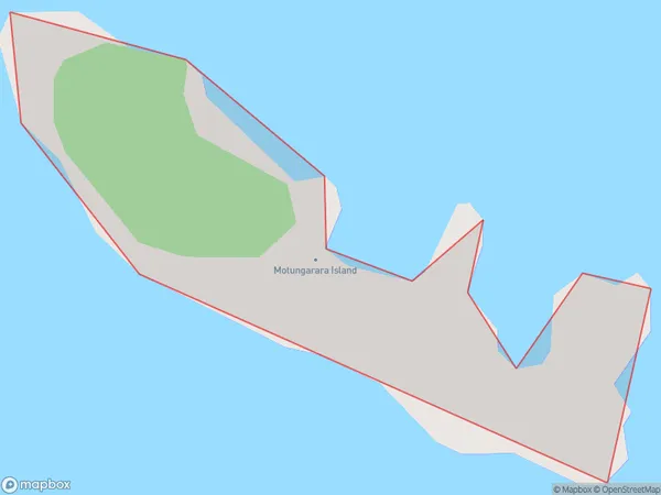
0 people live in Motungarara Island, Marlborough, NZMotungarara Island Suburb Area Map (Polygon)

Motungarara Island Introduction
Motungarara Island is located in the Marlborough Sounds of New Zealand. It is a popular destination for day trips and overnight stays due to its scenic beauty, wildlife, and hiking trails. The island has a rich cultural history and is home to the Motungarara tribe, who have lived on the island for centuries. Visitors can explore the ancient ruins of the Motungarara Pa, a stone fortification built by the tribe. The island also has a variety of bird species, including the rare New Zealand bittern.Region
0Suburb Name
Motungarara IslandOther Name(s)
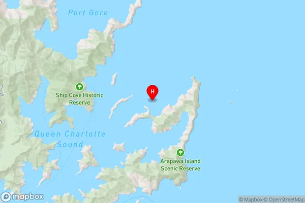
Queen Charlotte Sound (Totaranui)Motungarara Island Area Map (Street)

Local Authority
Marlborough DistrictFull Address
Motungarara Island, Marlborough District, New ZealandAddress Type
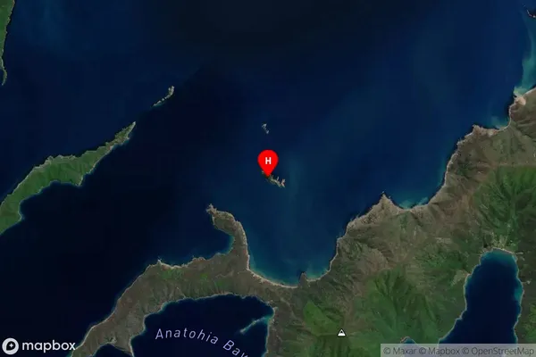
Island in Major Locality Marlborough SoundsMotungarara Island Suburb Map (Satellite)

Country
Main Region in AU
MarlboroughMotungarara Island Region Map

Coordinates
-41.1140781,174.327018103669 (latitude/longitude)Distances
The distance from Motungarara Island, Marlborough Sounds, Marlborough District to NZ Top 10 Cities