Motungarara Island Area, Motungarara Island Postcode & Map in Motungarara Island
Motungarara Island Area, Motungarara Island Postcode & Map in Motungarara Island, Wairoa District, New Zealand
Motungarara Island, Wairoa District, New Zealand
Motungarara Island Area (estimated)
0.0 square kilometersMotungarara Island Population (estimated)
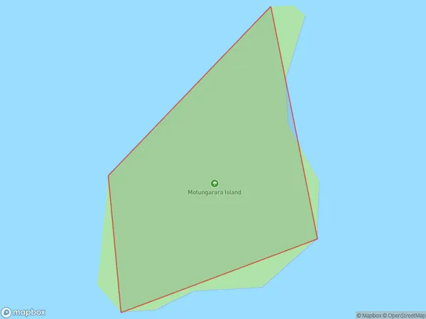
0 people live in Motungarara Island, Marlborough, NZMotungarara Island Suburb Area Map (Polygon)
Motungarara Island Introduction
Motungarara Island is a small, uninhabited island in the Marlborough Sounds of New Zealand. It is part of the Abel Tasman National Park and is known for its stunning natural beauty, including rugged cliffs, lush forests, and pristine beaches. The island is a popular destination for hiking, kayaking, and wildlife watching, with a variety of bird species and marine mammals including seals and dolphins.Region
Suburb Name
Motungarara IslandOther Name(s)
Lake WaikareitiMotungarara Island Area Map (Street)

Local Authority
Wairoa DistrictFull Address
Motungarara Island, Wairoa District, New ZealandAddress Type
IslandMotungarara Island Suburb Map (Satellite)

Country
Main Region in AU
MarlboroughMotungarara Island Region Map

Coordinates
-41.1140781,174.327018103669 (latitude/longitude)Distances
The distance from Motungarara Island, , Wairoa District to NZ Top 10 Cities