Motungaio Island Area, Motungaio Island Postcode(3110) & Map in Motungaio Island
Motungaio Island Area, Motungaio Island Postcode(3110) & Map in Motungaio Island, Western Bay of Plenty District, New Zealand
Motungaio Island, Western Bay of Plenty District, New Zealand
Motungaio Island Postcodes
Motungaio Island Area (estimated)
0.3 square kilometersMotungaio Island Population (estimated)
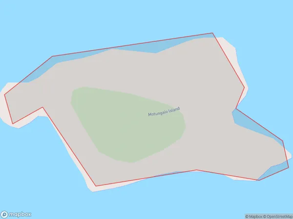
0 people live in Motungaio Island, Bay of Plenty, NZMotungaio Island Suburb Area Map (Polygon)
Motungaio Island Introduction
Motungaio Island is located in the Bay of Plenty, New Zealand. It is a small, rocky island with a population of around 100 people. The island is known for its stunning natural beauty, including lush forests, crystal-clear waters, and stunning beaches. The island has a rich cultural heritage, with evidence of early Māori settlement and European exploration. Motungaio Island is a popular destination for outdoor activities such as hiking, fishing, and kayaking. The island also has a small community center with a library, a community hall, and a restaurant.Region
Suburb Name
Motungaio IslandOther Name(s)
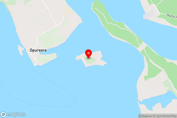
Tauranga HarbourMotungaio Island Area Map (Street)
Local Authority
Western Bay of Plenty DistrictFull Address
Motungaio Island, Western Bay of Plenty District, New ZealandAddress Type
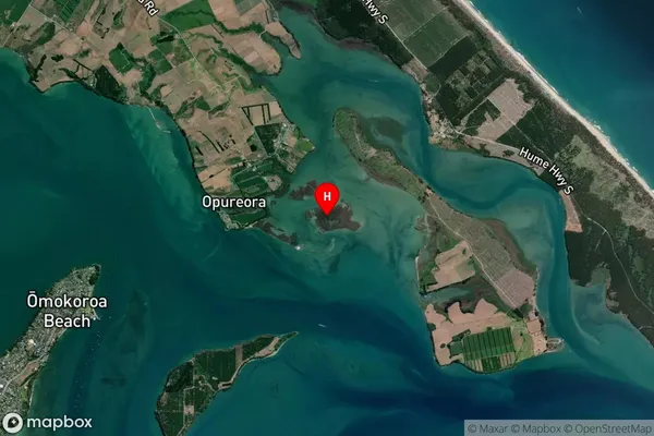
IslandMotungaio Island Suburb Map (Satellite)
Country
Main Region in AU
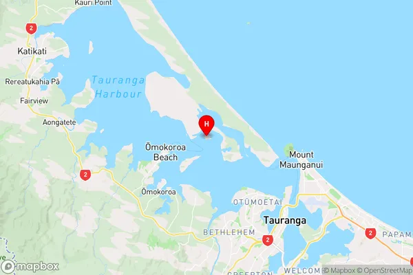
Bay of PlentyMotungaio Island Region Map
Coordinates
-37.6205103,176.089411201956 (latitude/longitude)Distances
The distance from Motungaio Island, , Western Bay of Plenty District to NZ Top 10 Cities