Motunau / Plate Island Area, Motunau / Plate Island Postcode & Map in Motunau / Plate Island
Motunau / Plate Island Area, Motunau / Plate Island Postcode & Map in Motunau / Plate Island, Area outside Territorial Authority, New Zealand
Motunau / Plate Island, Area outside Territorial Authority, New Zealand
Motunau / Plate Island Area (estimated)
0.0 square kilometersMotunau / Plate Island Population (estimated)
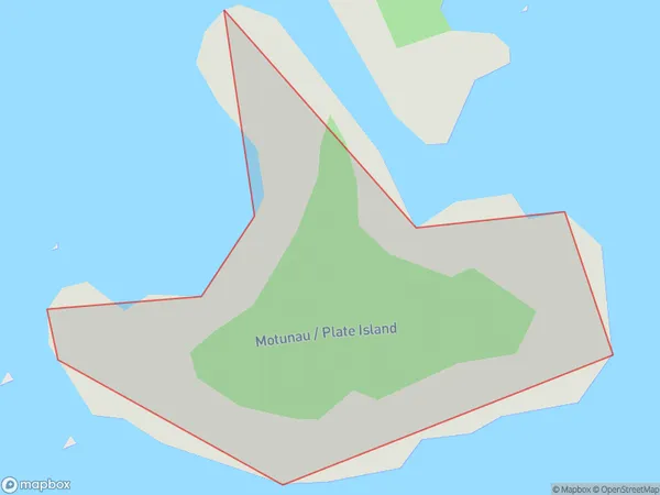
0 people live in Motunau / Plate Island, Bay of Plenty, NZMotunau / Plate Island Suburb Area Map (Polygon)
Motunau / Plate Island Introduction
Motunau / Plate Island is a small, uninhabited island in the Bay of Plenty, New Zealand. It is known for its stunning natural beauty, including crystal-clear waters, white sand beaches, and diverse marine life. The island is a popular destination for snorkeling, diving, and fishing, and is part of the Motunau Island Marine Reserve.Region
Suburb Name
Motunau / Plate IslandOther Name(s)
Motunau Island, Plate Island, Bay Of PlentyMotunau / Plate Island Area Map (Street)

Local Authority
Area outside Territorial AuthorityFull Address
Motunau / Plate Island, Area outside Territorial Authority, New ZealandAddress Type
IslandMotunau / Plate Island Suburb Map (Satellite)

Country
Main Region in AU
Bay of PlentyMotunau / Plate Island Region Map

Coordinates
-37.6621178,176.560515635965 (latitude/longitude)Distances
The distance from Motunau / Plate Island, , Area outside Territorial Authority to NZ Top 10 Cities