Motunau Island Area, Motunau Island Postcode & Map in Motunau Island
Motunau Island Area, Motunau Island Postcode & Map in Motunau Island, Area outside Territorial Authority, New Zealand
Motunau Island, Area outside Territorial Authority, New Zealand
Motunau Island Area (estimated)
0.0 square kilometersMotunau Island Population (estimated)
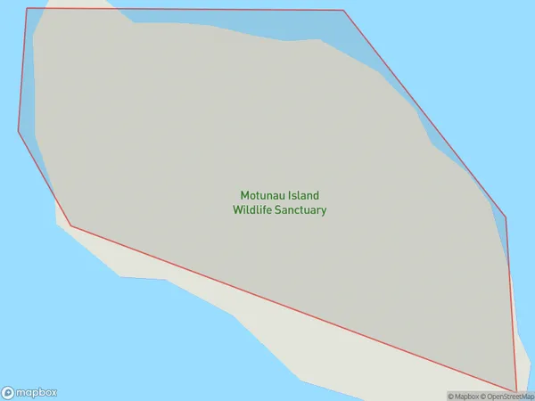
0 people live in Motunau Island, Canterbury, NZMotunau Island Suburb Area Map (Polygon)
Motunau Island Introduction
Motunau Island is located in the Foveaux Strait of New Zealand's Canterbury region. It is a small, rocky island with a population of around 30 people. The island is known for its stunning natural beauty, including crystal-clear waters, rugged cliffs, and lush forests. It is also home to a variety of wildlife, including penguins, seals, and bird species. Motunau Island is accessible by boat from the town of Kaikoura, and it is a popular destination for hiking, fishing, and wildlife watching.Region
Suburb Name
Motunau IslandMotunau Island Area Map (Street)

Local Authority
Area outside Territorial AuthorityFull Address
Motunau Island, Area outside Territorial Authority, New ZealandAddress Type
IslandMotunau Island Suburb Map (Satellite)

Country
Main Region in AU
CanterburyMotunau Island Region Map

Coordinates
-43.06205815,173.077891418413 (latitude/longitude)Distances
The distance from Motunau Island, , Area outside Territorial Authority to NZ Top 10 Cities