Grafton Area, Grafton Postcode(1023) & Map in Grafton
Grafton Area, Grafton Postcode(1023) & Map in Grafton, Auckland, New Zealand
Grafton, Auckland, New Zealand
Grafton Area (estimated)
1.2 square kilometersGrafton Population (estimated)
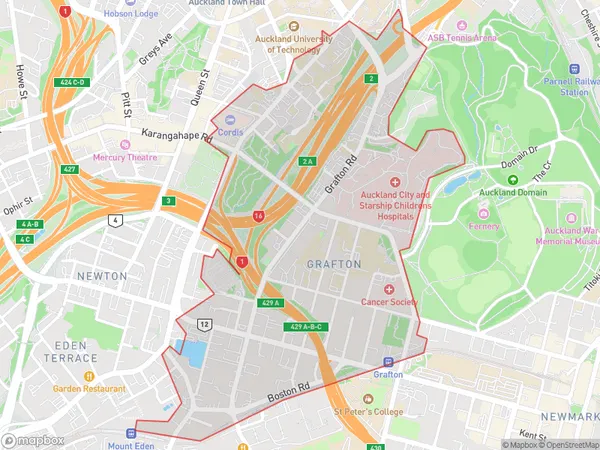
4977 people live in Grafton, Auckland, NZGrafton Suburb Area Map (Polygon)
Grafton Introduction
Grafton is a suburb of Auckland, New Zealand, located in the central city's inner-west. It is known for its vibrant cultural scene, with a large number of artists, musicians, and creatives living in the area. The suburb has a rich history, with many historic buildings and landmarks, including the Grafton Bridge and the Grafton Central Library. Grafton also has a popular shopping district, with a variety of stores and cafes.Region
Major City
Suburb Name
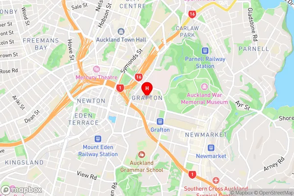
GraftonGrafton Area Map (Street)
Local Authority
AucklandFull Address
Grafton, Auckland, New ZealandAddress Type
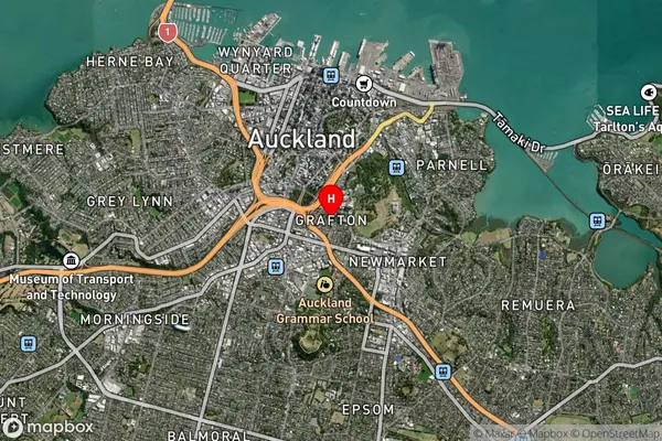
Suburb in City AucklandGrafton Suburb Map (Satellite)
Country
Main Region in AU
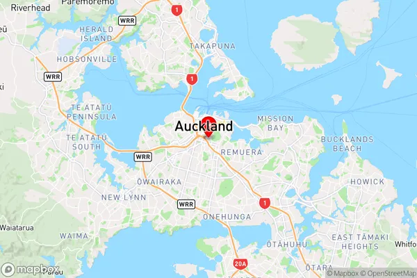
AucklandGrafton Region Map
Coordinates
-36.8622777,174.767751 (latitude/longitude)Distances
The distance from Grafton, Auckland, Auckland to NZ Top 10 Cities